What Is the Source of the Zambezi River?
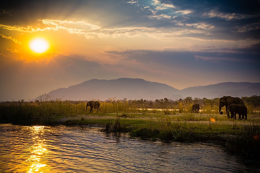
The Zambezi is a 1,599-mile long river located in Africa, which begins in the Republic of Zambia, in the eastern region of the continent. The river's headwaters emerge from a special environmental biome, classified by the World Wildlife Fund as tropical and subtropical grasslands, savannas, and shrublands. Within this habitat, the Zambezi River is formed from a wetland area known as a dambo, which is characterized by numerous grass and rush plant species. The dambo is surrounded by an environment known as a miombo forest, which refers to the dominant type of tree. Dambos are important ecosystems and water sources that cover approximately 12.5% of the area of Zambia. In fact, the Zambezi River's headwaters are located within a reserve that is both a national monument and an Important Bird Area.
The origin of the Zambezi River is located at the top of a plateau area that measures between 2,952 and 3,937 feet above sea level. These headwaters begin just east of the division between the Zambezi and Congo watersheds. The origin marks the point where the Lualaba River flows into the Congo rather than the Zambezi, completely dividing these two major rivers.
Course of the Zambezi River
The Zambezi River flows through 6 countries, at some points entering a country and at other points forming only part of a border between two countries. From its headwaters in Zambia, near the border with the Democratic Republic of the Congo, the Zambezi flows in a southwestern direction into the eastern peninsula region of Angola. The river then turns south enters Zambia once again. It then forms part of the border between Zambia and Namibia, before entering Namibia for a short distance. The river crosses the most eastern tip of Namibia to Botswana, where it forms a tiny section of border between Botswana and Namibia. From here, the Zambezi flows in a more eastern and northeastern direction, along the border between Zambia and Zimbabwe. Along this border, the river forms Lake Kariba, which straddles the two countries. The river continues to the corner where Zambia, Zimbabwe, and Mozambique meet, and then flows into Lake Cahora Bassa, in Mozambique. The river then turns southeast and empties into the Indian Ocean.
Major Features of the Zambezi River
The Zambezi River has a number of notable features along its course, although the most well-known are Victoria Falls and the Zambezi Delta. Victoria Falls is located on the border between Zambia and Zimbabwe, where the central plateau geological feature abruptly ends. The Zambezi River flows over the plateau and is extremely wide and slow-moving before it cascades over the edge of the plateau, forming Victoria Falls. This waterfall is 355 feet tall at its center and 5,604 feet wide, giving it the largest surface area of any waterfall in the world.
The Zambezi Delta is formed where the Zambezi River flows into the Indian Ocean. Depending on the season, the delta ranges from 35,000 to 140,000 cubic feet in volume. It is home to a diverse range of plant and animal species. Today, the habitat is threatened by development and farming practices.


