What Does a Cartographer Do?
Cartography is the art and science of map making. In more specific terms, it is the graphical representation of a geographical area on a flat surface. The modern day practice of cartography involves the use of aerial and satellite photographs as bases for any desired map. The photographic data that is collected is translated into maps to yield a degree of accuracy that would not have been previously attainable.
Maps can come in several shapes and forms. People involved in the process of map-making are known as cartographers or map makers. They gather, measure, analyze, and interpret geographical information.
Functions of a Cartographer
Cartographers are mainly involved in the collection and verification of data used in the process of creating a map. They collect and analyze a wide range of data including population density, infant mortality, annual precipitation patterns, demographic characteristics, and the locations of natural features in the midst of other variables. They also examine and compile data from various survey sources including aerial and satellite photographs, reports, and ground surveys to prepare thematic maps. These thematic maps can be prepared in digital or graphic forms for various uses such as for business and education. Apart from creating maps, cartographers also revise the existing maps and charts to make adjustments and corrections.
Cartographer’s Tools
Before the 17th century, cartographers corroborated with old maps passed down to them for centuries to create new maps. The invention of telescopes and the compass increased the accuracy of the maps. Today, cartographers typical use information from the geodetic survey and other remote sensing systems such as satellites, aerial photograph, and other technologies. Aerial photographs are captured on choppers using specialized cameras which use Light-Imaging Detection and Ranging (LIDAR). LIDAR uses special types of lasers attached to a plane to digitally map the topography of an area. It is more accurate than the traditional surveying methods and is also useful in collecting other data such as forest canopy density and location. Data obtained by LIDAR is mainly used to provide spatial information for specialists like engineers, geologists, and seismologists.
Cartographers can also create maps using Geographic Information Systems (GIS). GIS technology is used to gather, analyze, integrate, and display spatial information in a digital form. Maps generated by the GIS technology link graphic and non-graphic spatial information. When cartographers are not in the field collecting and verifying data, they are at work in their offices behind specialized computers. The offices provide a suitable environment where they can extract information from the huge amount of data collected from the field
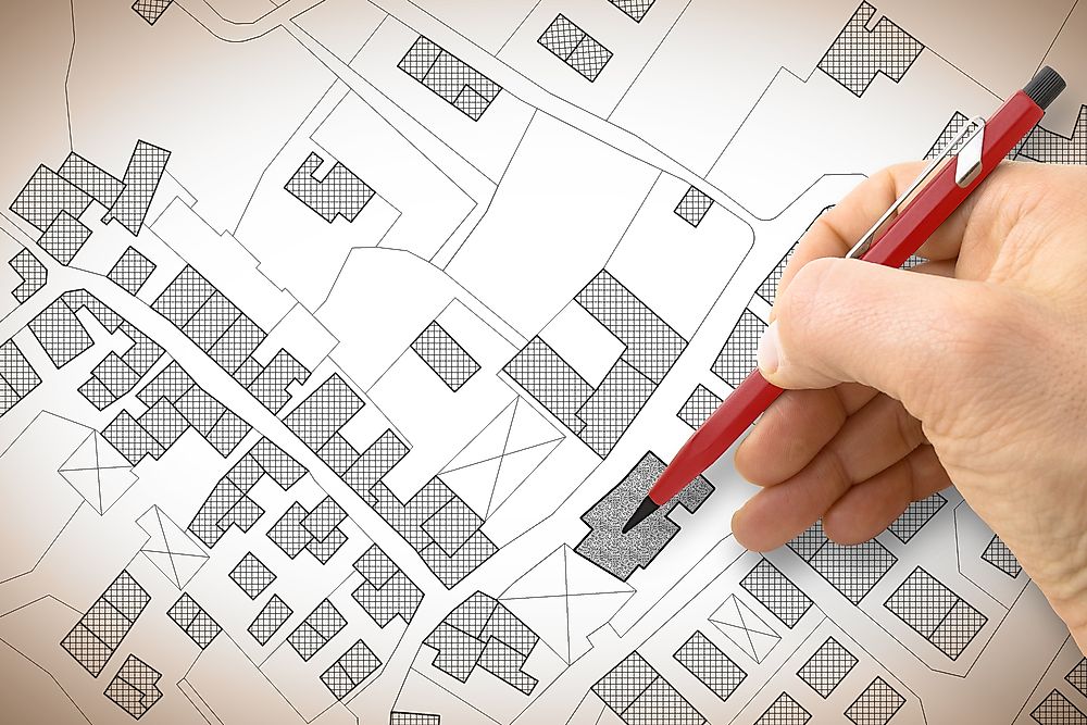
Revising Existing Maps
Apart from creating new maps, cartographers will also revise existing maps to eliminate errors and update information. The process of revising an existing map involves determining thematic and positional accuracy of the features being mapped. It also involves deciding on what extra information should be added to the map, and how such information will affect the final map. Once the draft final map is ready, the cartographers go through the draft to ensure the accuracy and reliability of the final map.


