Was Was the Big Dig?
An Overview Of The Project
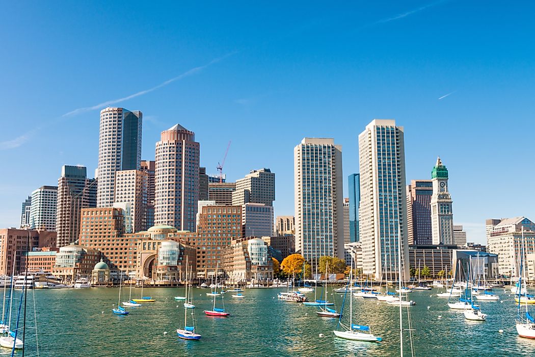
The Big Dig in Boston was one of the most technically challenging infrastructural projects ever undertaken in the U.S and holds the record for the most expensive highway project. This massive road infrastructure project was undertaken to ease the congestion in Boston and to upgrade the Central Artery road which split the city into half. The total cost of the project is estimated at $14.8bn when the project was completed in December 2007. Initially, the Massachusetts Turnpike Authority commenced the project as The Central Artery / Tunnel Project (CA/T) in 1991. The Massachusetts Department of Transportation made the actual cost of the project public in July 2012, estimating the total cost to be $24bn. Due to escalating costs, poor execution and flaws in the design during the construction, the state services a debt of nearly $100 million every year in addition to the $9.3bn debt which includes principle and interest. This is likely to continue until 2038.
The Beginning Of The Project
The Big Dig project was undertaken to ease the chronic traffic congestion in Boston and the surrounding commuter areas. It was also built with the aim of linking the vicinity to the economic life of the city of Boston. The Big Dig consisted of two main projects:
- Upgrade of the existing Central Artery elevated six-lane highway with a 14-lane subterranean highway (the new highway consisting of two bridges crossing the Charles River).
- Extension of Interstate 90 from south of Downton Boston through Ted Williams Tunnel to Logan airport Boston’s Central Artery.
The Central Artery which was opened in 1959, carried an excess of over 200,000 vehicles a day as opposed to the 75,000 capacity it was meant to carry. This created heavy traffic lasting up to 10 hours which can be translated to a waste of over $500m per year on fuel burnt by idling engines. The newly upgraded road was to allow for the passage of 245,000 vehicles per day thereby reducing traffic jam in Central Boston. Residents and city leaders also wanted a connection to the waterfront by the road system. Thus, the elevated highway was to be replaced by an underground expressway.
Project Outcome
The new project created parks and open spaces constituting 300 acres of land of which 27 acres were occupied by the elevated highway, 40 acres along the Charles River, 105 acres at Spectacle Island, and 7 acres as part of the expanded Memorial Stadium Park in East Boston. Much of the remaining space has been set aside for various developments such as retail, commercial and housing uses. The space has also been utilized through introduction of vegetation constituting of over 2000 trees, and 7000 shrubs.
Due to the massive scale and impact of the Big Dig project, underground utility relocation was necessary which included the movement of 29 miles of electric, gas, water, sewer and other utility lines. This helped in reducing the congestion of utility lines which were a jumbled mix before the construction. There was more order and helped in setting the utility lines into a modern corridor.
The new highway system helped reduce emissions significantly since the traffic was now moving more efficiently. The carbon monoxide levels in Boston dropped by about 12 percent and the city air was cleaner than before.
Overall, the project was undertaken by 118 different construction contracts and 26 geotechnical drilling contracts to fully develop the new underground highway.