The Story of the Embarcadero Freeway
The Embarcadero Freeway
State Route 480 was an elevated double-decker highway in the city of San Francisco. The name was derived from Spanish verb “embarcar” which means “to embark” with “embarcaderos” meaning “the place to embark.” The Embarcadero Freeway begins at the intersection at Second and King Street passes under the San Francisco-Oakland Bay Bridge and ends at Pier 45. It dominated the area for three decades before being torn down in 1991.
Construction
San Francisco seaport was at its busiest before the building of the Bay Bridge. Piers were constructed chiefly for inland trade and transport facilitating the growth of communities in the Sacramento. The San Francisco’s waterfront was a military logistic center during the World War II with every Pier and wharf involved in the army activities. Embarcadero provided a harbor for naval vessels. After the construction of the Bay Bridge in Oakland, most of the container shipping was moved to Oakland leading to a significant decline in ferries and ferry buildings at the San Francisco shoreline. The transit of the automobile to Oakland led to the construction of the Embarcadero Freeway in the 1960s. The construction of the freeway improved access to the Bay Bridge. However, the freeway divided the waterfront and the Ferry Building from downtown causing distractions.
Destruction
The Embarcadero Freeway was originally planned as a thorough route between Bay Bridge and Golden Gate Bridge. The growing impact of the freeway to the neighborhood caused the further building of the freeway to be abandoned. In 1985, San Francisco’s Board of Supervisors sought to replace the freeway with Boulevard, but the measures failed in 1987 vote due to the fears of traffic congestion. However, Embarcadero Freeway was torn down in 1991 after being severely damaged by the 1989 Loma Prieta earthquake. Curiously, once the freeway came down, the fear that demolishing it would cause traffic did reveal itself to be warranted. The city adapted to the new traffic network with few problems leading to the support for the reconstruction of the highway waning away. The Embarcadero Freeway was finally removed in 1991 after the city board favored a vote for its replacement.
Outcome
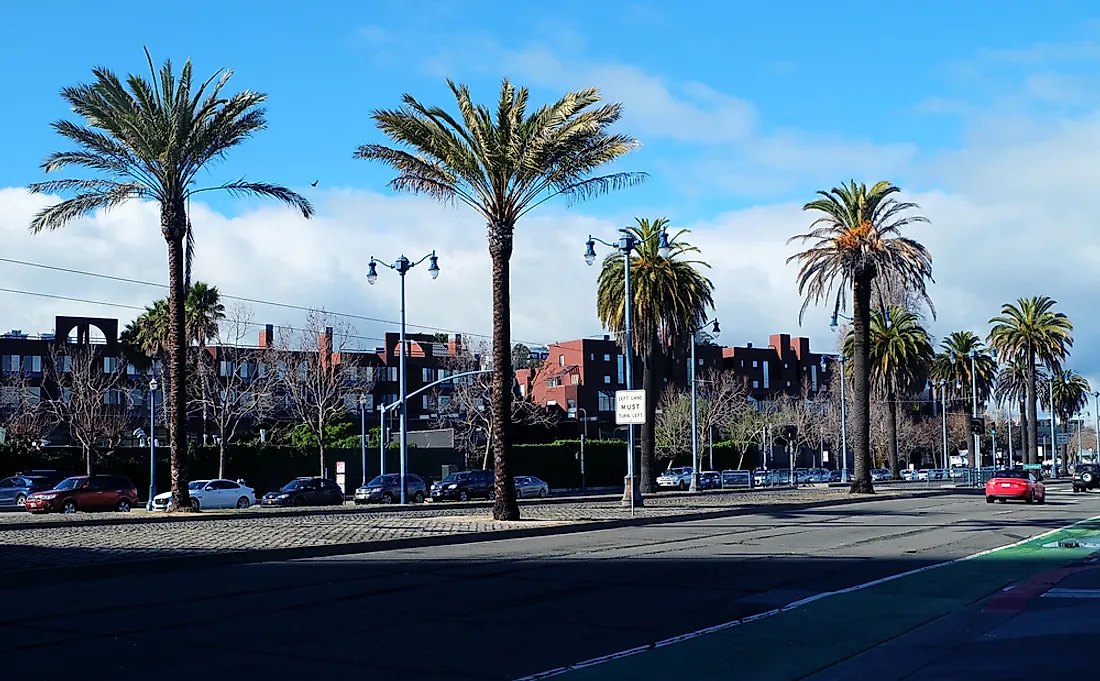
The replacement of the Embarcadero Freeway is considered a large success in the world of urban planning. The waterfront park has become extremely popular and has also received a significant level of private investment. The Embarcadero Boulevard which replaced Embarcadero Freeway carries almost half of the original freeway volume with the remaining traffic finding alternative routes or switching to other modes of transport. The changes also allowed more pedestrians to use the boulevard.
Lessons Learned
The replacement of Embarcadero Freeway illustrated the ability of city traffic to adapt to significant changes in the road network, a reality many doubted. The project also highlighted how the removal of the elevated freeway could improve the values of properties and spur development as the redesign of the boulevard has significantly attracted substantial development. The process leading to the replacement of the freeway was a unique one as the government had to stand its ground against its reconstruction. The stand taken by the Board of Supervisors enabled the removal to proceed.