The Largest Provinces of South Africa by Area and by Population
The Creation of Provinces in South Africa
The nation of South Africa is divided into nine provinces. These provinces were created following the re-integration of the country’s former homelands and the dissolution of four pre-existing provinces (former British colonies). The nine new divisions were introduced on the eve of the general election of 1994, the first multiracial election in South Africa. Several constitutional amendments over the years have changed the boundaries of some of South Africa's provinces.
Population of Provinces in South Africa
South Africa’s Smallest Province by Area Is the Largest by Population
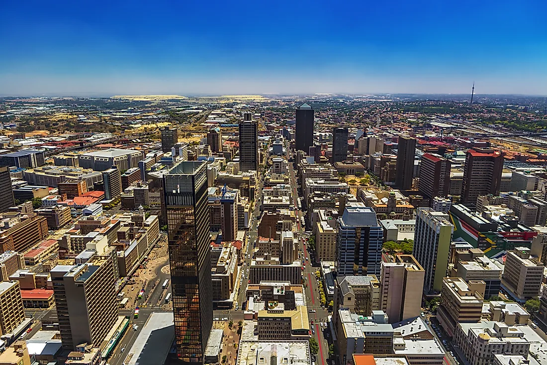
Although Gauteng, meaning “place of gold” is South Africa’s smallest province by size, it is the country's largest by population. Gauteng covers an area of 18,176 square km and had a population of 12,272,263 in 2011. Johannesburg is the province's administrative capital, as well as the largest city in the country. Gauteng has a high population density of 680 persons per square km. The province's population is highly urbanized, and is primarily concentrated in large urban and industrial centers like Johannesburg, Pretoria, Vanderbijlpark, and Midrand. Gauteng serves as the nation's economic hub and has a well-developed industrial and service sector. Thus, many people migrate to the province in search of better opportunities.
South Africa’s Largest Province by Area Is the Smallest by Population
Interestingly, South Africa’s largest province by area is also the country's smallest by population. The Northern Cape is a province which spans an area of 372,889 square km and has a population of 1,145,861. The area of the province is comparable to the size of the US state of Montana. The population density of the Northern Cape is only 3.1 persons per square km, making it the least densely populated province in the country. Kimberley serves as the province's capital city. The Northern Cape has a rugged terrain and arid to semi-arid landscapes over vast stretches of land. The semidesert natural region of the Karoo occupies a large part of the province. Part of the Kalahari Desert lies in the northern part of the province, while rugged, mountainous terrain exists in the south and the south-east of the Northern Cape. Thus, massive areas of the province are unsuitable for human settlement and agriculture, resulting in the province's low population.
Governance of Provinces in South Africa
Each of South Africa's nine provinces has its own provincial government, and the powers of these provincial governments are regulated by constitutional guidelines. While some areas, like education, housing, and health are managed jointly by both provincial and central governments, and the central government has the right to apply uniform standards in such areas, other areas are handled exclusively by the provincial governments. The South African provinces lack provincial judicial systems since the justice department is handled only by the central government.
The executive branch of South Africa's provincial governments are led by provincial premiers. Each premier selects an executive council that includes between 5 and 10 members. The premier is selected by the unicameral legislature, whose members are elected by the nation’s public. These elections are held every five years, and coincide with the timing of the election of the National Assembly.
The Largest Provinces of South Africa by Area and by Population
| Rank | Province | Population (2011) | Province | Area |
|---|---|---|---|---|
| 1 | Gauteng | 12,272,263 | Northern Cape | 372,889 km2 (143,973 sq mi) |
| 2 | KwaZulu-Natal | 10,267,300 | Eastern Cape | 168,966 km2 (65,238 sq mi) |
| 3 | Eastern Cape | 6,562,053 | Free State | 129,825 km2 (50,126 sq mi) |
| 4 | Western Cape | 5,822,734 | Western Cape | 129,462 km2 (49,986 sq mi) |
| 5 | Limpopo | 5,404,868 | Limpopo | 125,754 km2 (48,554 sq mi) |
| 6 | Mpumalanga | 4,039,939 | North West | 104,882 km2 (40,495 sq mi) |
| 7 | North West | 3,509,953 | KwaZulu-Natal | 94,361 km2 (36,433 sq mi) |
| 8 | Free State | 2,745,590 | Mpumalanga | 76,495 km2 (29,535 sq mi) |
| 9 | Northern Cape | 1,145,861 | Gauteng | 18,178 km2 (7,019 sq mi) |