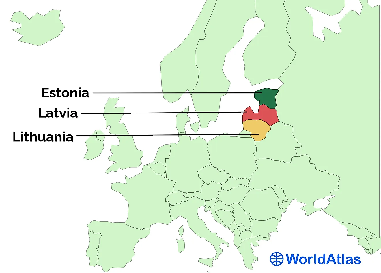
Lakes That Are Called Seas
According to the definition of NOAA, US, a sea is partially enclosed by land and is smaller than the ocean. It usually refers to the waters in the area where the ocean and land meets. However, some large water bodies that are completely enclosed by land and not connected to the Earth's oceanic waters, are also referred to as seas. However, when going by the differences between a lake and a sea, these water bodies are actually lakes. Here is a list of lakes that are called seas:
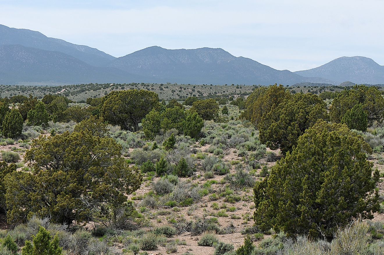
Aral Sea

Despite having "sea" in its name, the Aral Sea is not connected to the oceans of the world. It is an endorheic lake that lies to the north of Uzbekistan and to the south of Kazakhstan. The Aral Sea literally means “the sea of islands” since, in the Turkic languages, Aral means “islands”. Thus, its name refers to the many islands that dotted it in the past. Although the Aral Sea occupied a vast area of about 68,000 square km for a long period of time, it has been constantly shrinking over the past two centuries and the loss of water has greatly speeded up in the past few decades. The execution of a large number of irrigation projects during the Soviet era diverted the waters of several rivers feeding the Aral Sea. Thus, the water level in the lake fell greatly and today, the Aral Sea is believed to be less than 10% of its original size.
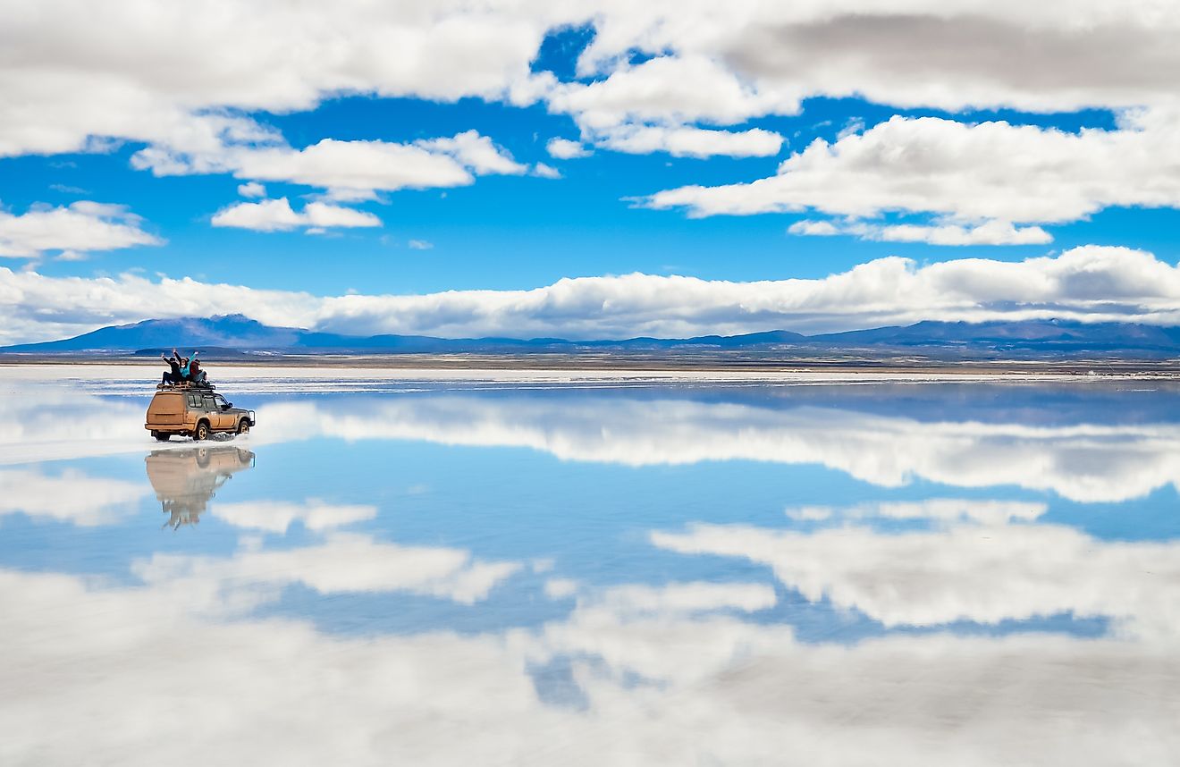
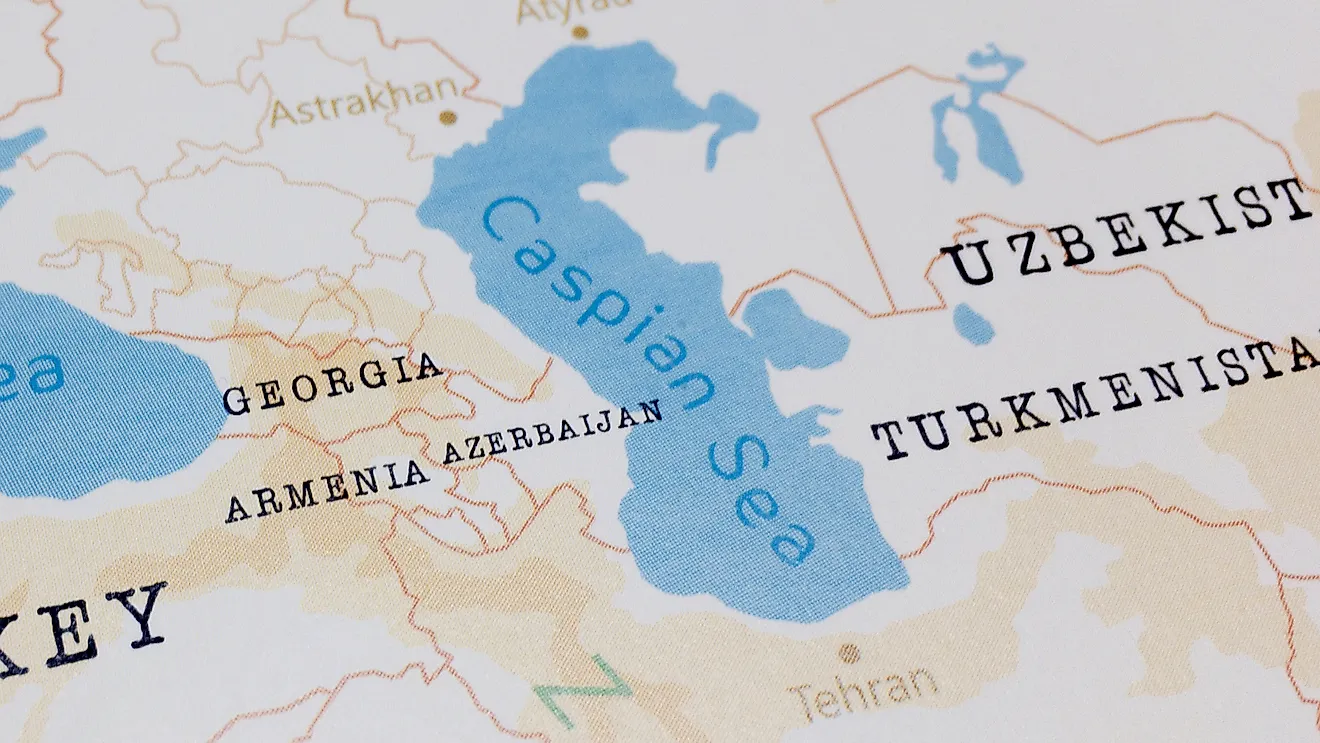
Caspian Sea

The Caspian Sea is also an endorheic basin and not connected to the oceans of the world. Often regarded as the largest lake in the world, the Caspian Sea is located between the continents of Asia and Europe. The Caucasus Mountains rise to the west of the lake while the Central Asian steppes lie to its east. The Caspian Sea is one of the lowest natural depressions in the world and is about 92 ft below sea-level in the Caspian Depression. Although the Caspian Sea is an enclosed water body, it is called “sea” probably because of its massive size of 371,000 square km and its saltiness.
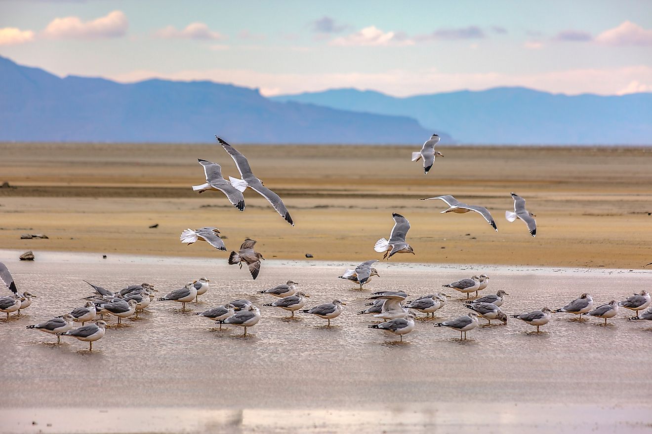
Dead Sea

A popular tourist destination, the Dead Sea is famous for many reasons. It is actually a salt lake and one of the world's most saline water bodies. Its waters are 9.6 times saltier than the world’s oceans. The elevation of the Dead Sea’s shores is the lowest on land at 1,412 ft below sea-level. The lake also enjoys the title of being the world’s deepest hypersaline lake and has a depth of 997 ft. The hyper-salinity of the Dead Sea means it does not support life, hence the name. The Dead Sea is located between Israel and Jordan in the Jordan Rift Valley.
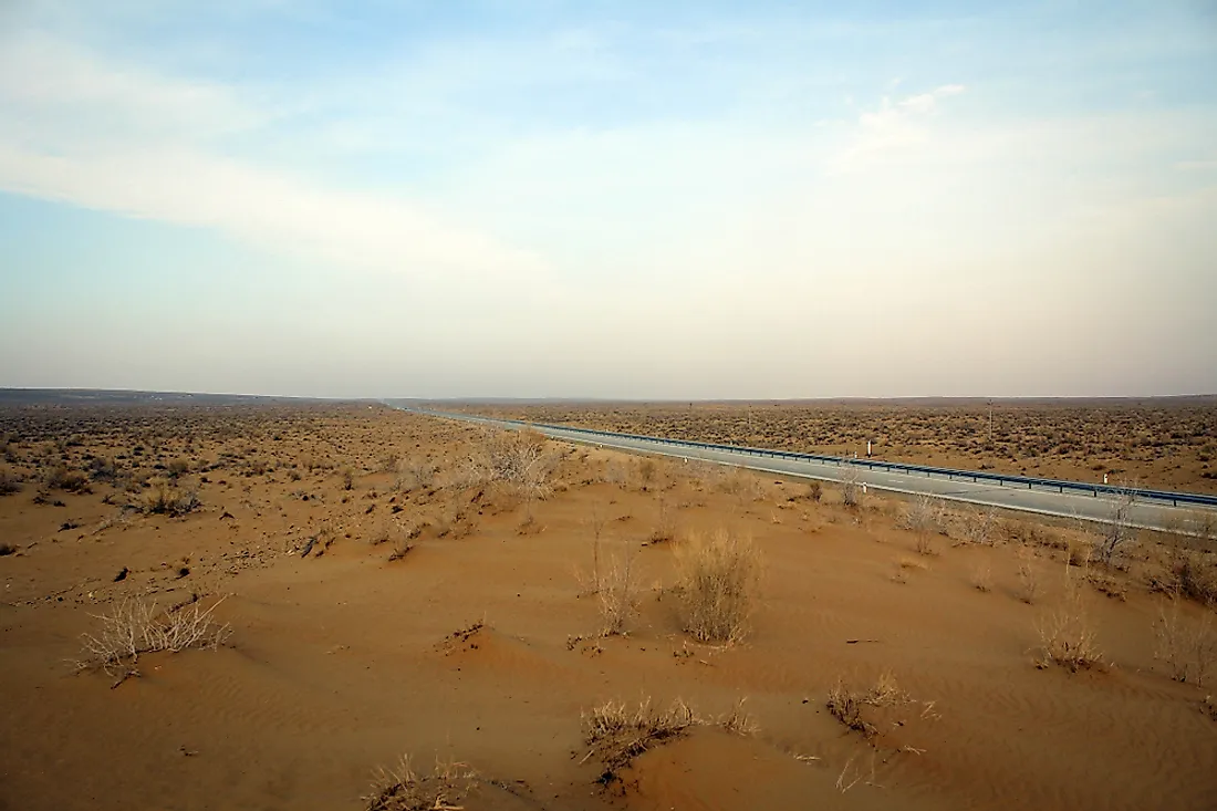
Salton Sea

Located in California, US, the Salton Sea is an endorheic rift lake that is both shallow and saline in nature. The surface of the lake is 235.2 ft below sea-level. Several rivers, creeks, agricultural runoff, and drainage systems feed this lake. The Salton Sea encompasses an area of 890 square km making it the largest lake in California.
Sea of Galilee

Unlike the above lakes that are all saline in nature, the Sea of Galilee is the only freshwater lake with "sea" in its name. It occupies an area of 166.7 square km in Israel. The lake has a maximum depth of 141 ft. It is the second-lowest lake in the world after the Dead Sea with the surface elevation ranging from 705 ft to 686 ft below sea level. The Jordan River is the primary source of water for the Sea of Galilee. Underground springs also feed water to the lake.