Lake Cahuilla: Location and History
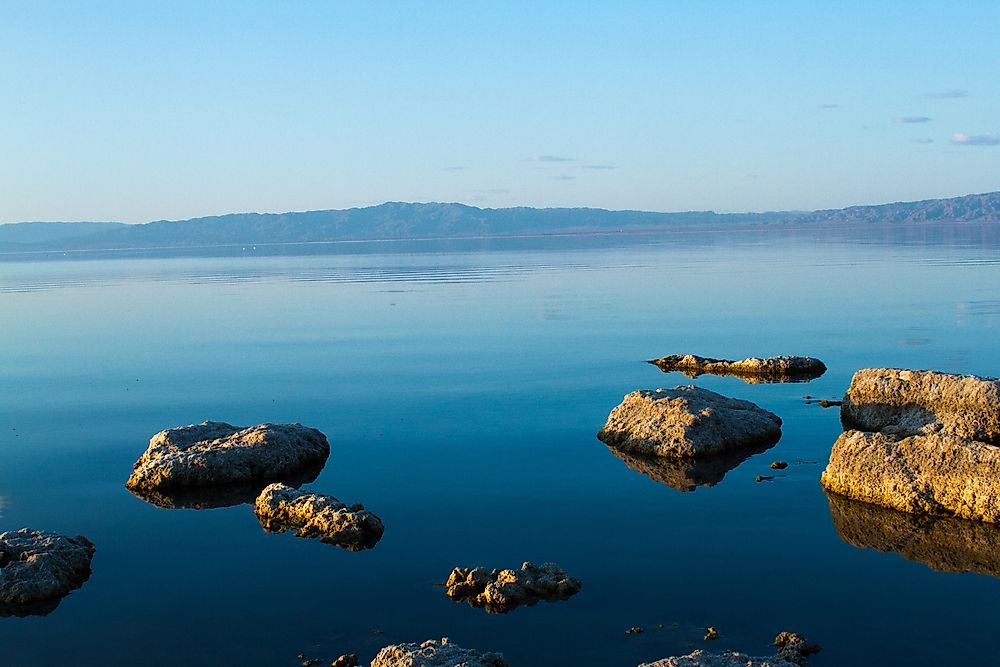
Lake Cahuilla is a prehistoric lake that spanned 2200 square miles over Northern Mexico and California. Other names for the lake are Lake LeConte or the Blake Sea. The lake formed in what is now known as the Salton Sea. Lake Cahuilla stretched all the way from Coachella Valley, the Imperial Valley, and all the way to Cerro Prieto. Most of the water from the lake was from the Colorado River and a bit from runoff. Eventually, the lake overflowed and ultimately drained into the Gulf of California.
Size
During its existence, Lake Cahuilla rose to heights of up to 39 feet during the Holocene. The lake reached even higher elevations of between 102 and 171 feet during the early stages of the Pleistocene. The Holocene is the current geological era. The Pleistocene epoch began approximately 11,700 years ago before the Holocene. Lake Cahuilla’s length was 100 miles with the highest width being 35 miles. At its maximum, the lake could hold 120 cubic meters of water. The uniqueness of the lake can be seen by examining the lake’s geology. The lake is formed at the point of convergence between the San Andreas tectonic system and that of the Gulf of California. This point of convergence has caused plenty of earthquakes and volcanic activity during the existence of the lake.
Threats
Threats to the lake came mostly from natural causes during its existence. Most notably is the threat that led to its disappearance, that is, tectonic plates shifting. This shifting of the plates most likely caused earthquakes and other kinds of movements that led to the lake’s ultimate disappearance, that is, Lake Cahuilla’s overflow near the Cerro Prieto and eventually into the bigger Gulf of California.
Human activities also affected the lake. In the period between 1905 and 1907, an accident occurred that led to the formation of the Slaton Sea close to Lake Cahuilla’s lower basin. Human intervention saw to it that the Slaton Sea did not become as big as Lake Cahuilla itself. Instead, the bed of the Slaton Sea, after its disappearance, was used for farming to this day.
Habitat
Currently, the climate is characterized by spells of dryness and hotness during the summer. Usually, the region’s temperature ranges between 10°C and 35°C. Sometimes, high temperatures of up to 51°C although wetter conditions are experienced by the mountains to the west of the Cahuilla region. Precipitation quantities and evaporation rates reach up to 2.5 inches per year and 71 inches per year respectively. Climate during the Pleistocene era is harder to determine.
Tourism
The basin of the lake has been important to tourism in a number of ways. For example, archaeology sites have been found on the shores of the prehistoric lake. Remains of past species of fish, evidence of settlements by the natives of the regions, and works of pottery have been found that all show the ways of life of the civilization that lived close to the lake. All of these contribute to the tourism of the region. The Algodones Dunes that have been formed on the edges of the prehistoric lake also contribute to the area’s tourism.


