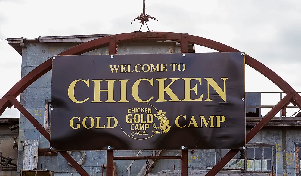
How Did The Chicken, Alaska Get Its Name?
Chicken is a small community situated in the Southeast Fairbanks Census-Region in Alaska which occupies an area of about 115.4sq miles. It is one of the last active gold mining regions in Alaska. The town is an outpost for the 40 Mile Mining District that has numerous active gold mines. The city is thought to have been given its unique name in 1902.
History
Gold was discovered in Franklin Creek in 1886 exactly 10 years before the Gold Rush of Klondike, and the town of Chicken was established. During the Klondike Gold Rush, Chicken was home to over 400 gold-fevered miners. Chicken had enough gold that it was worthwhile to tow gold dredges to the Chicken gold mines. The NRHP (National-Register of Historical Places) listed the Pedro dredge and the part of the region with buildings that were built during the early 1900s as the Chicken Historic District.
How Did Chicken Get Its Name?
Numerous gold miners settled the region during the late nineteenth century, and a post office was built by 1902. The post office required a community name; therefore the town decided to name the region after a local grouse known as Ptarmigan which was quite prevalent in the area. However the locals could not agree on the spelling of the name "ptarmigan," therefore to avoid embarrassment they named the community Chicken. The town’s name stuck despite the up-and-down of gold mining in the 40 Mile Mining District.
Geography
According to the U.S. Census Bureau, Chicken has a total land area of about 115.4sq miles. Chicken was the second town to be formed in Alaska, and it is approximately 200 miles to the eastern side of Fairbanks and close to the international boundary with Yukon. Even though it is surrounded by black spruce forest and wastes of muskeg, the region is still quite famous among tourists. Gold is still being mined in Chicken a century after most gold rush places were deserted. Chicken is accessible by road through Taylor Highway. Taylor highway is never maintained from mid-October to mid-March. The town can also be accessed through Chicken Airport. Chicken Airport occupies an area of about 68 acres, and it has one runway. The airport had 475 aricraft operations in 2005.
Climate of Chicken
The community receives an average of 11.83 inches of precipitation every year with the wettest month being July when Chicken receives about 2.84 inches of rainfall. Chicken generally has three snowless months during the summer months of June, July, and August. The town gets an average of 36.5 inches of snow annually while the snowiest month is December when the region records about 8.1 inches of snow. The temperature of Chicken varies with the highest temperature of 33 °C being recorded in June and the lowest temperature of about -58°C is recorded from December to February.
Demographics of Chicken
The region appeared as an American unincorporated village in the United States Census of 1930 when it had 20 residents. The population of the town increased by 105% from 1930 (20 individuals) to 1940 (41 people), before reducing by 17% to 34 people in 1950. The 1980 U.S. Census listed Chicken as a CDP (census-designated place) with 37 people. The population of Chicken reduced from 17 people in 2000 to just 7 individuals in 2010. The number of people living in Chicken increases during summer due to gold mining.


