Where is Umm Ruwaba, The Sudan?
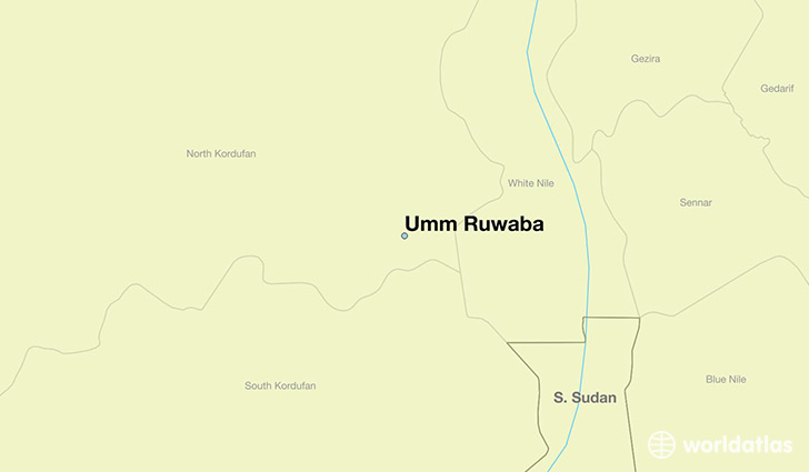
Umm Ruwaba is a city found in Shamal Kurdufan, The Sudan. It is located 12.91 latitude and 31.22 longitude and it is situated at elevation 457 meters above sea level.
Umm Ruwaba has a population of 55,742 making it the 3rd biggest city in Shamal Kurdufan. It operates on the CAST time zone, which means that it follows the same time zone as El Obeid.
Quick facts
| Country | The Sudan |
| District | Shamal Kurdufan |
| Population | 55,742 |
| Elevation | 457 m over sea level |
| Time Zone | CAST |
| Longitude | 31.215800 |
| Latitude | 12.906100 |
This page was last updated on October 2, 2015.