Where is Bali, Cameroon?
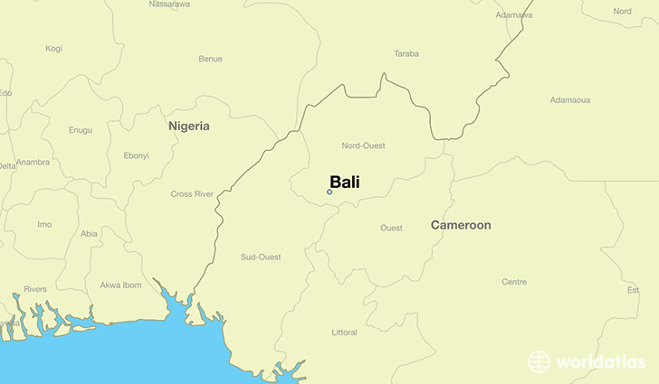
Bali is a city found in North-West Province, Cameroon. It is located 5.89 latitude and 10.01 longitude and it is situated at elevation 1355 meters above sea level.
Bali has a population of 72,606 making it the 2nd biggest city in North-West Province. It operates on the WAT time zone, which means that it follows the same time zone as Bamenda.
Quick facts
| Country | Cameroon |
| Province | North-West Province |
| Population | 72,606 |
| Elevation | 1,355 m over sea level |
| Time Zone | WAT |
| Longitude | 10.011760 |
| Latitude | 5.887370 |
| Page on World Atlas | Bali |
This page was last updated on October 2, 2015.