Where is Luanda, Angola?
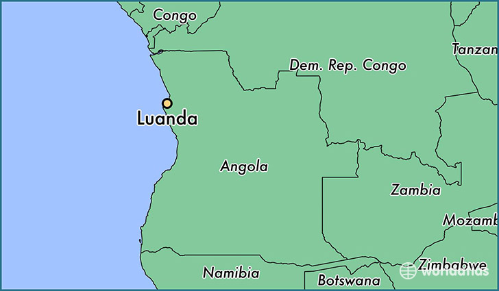
Luanda is a city found in Luanda, Angola. It is located -8.84 latitude and 13.23 longitude and it is situated at elevation 73 meters above sea level.
Luanda has a population of 2,776,168 making it the biggest city in Luanda. It operates on the WAT time zone.
Quick facts
| Country | Angola |
| District | Luanda |
| Population | 2,776,168 |
| Elevation | 73 m over sea level |
| Time Zone | WAT |
| Longitude | 13.234320 |
| Latitude | -8.836820 |
This page was last updated on October 2, 2015.