White Sea
Covering an area of 90,000 km2, the White Sea is a southern arm of the Barents Sea that is located on the northwestern coast of Russia. Besides the White Sea, there are three other seas in the world bearing common English names for colors as their names. These are the Red Sea, the Black Sea, and the Yellow Sea.
Where Is The White Sea?

The Kola Peninsula, Karelia, and Kanin Peninsula bound the White Sea to the north, west, and northeast, respectively. It is connected with the Barents Sea through a long, narrow strait known as Gorlo. The White Sea is also connected to the Baltic Sea via the White Sea Canal.
Geography

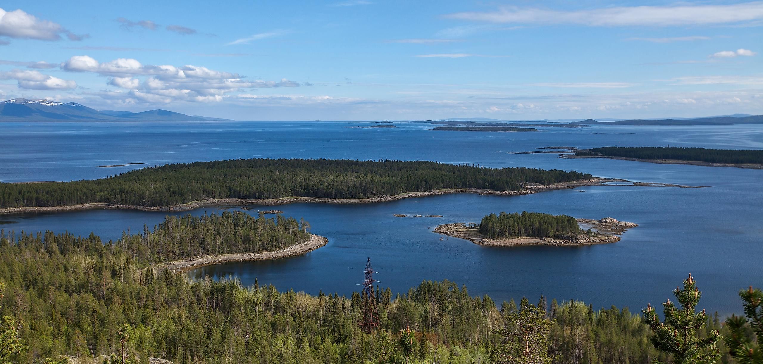
The sea’s depth is about 340 m at its deepest point which is situated in the northeastern part of the Kandalaksha Gulf. Its estimated average depth is about 60 m. The highly indented coastline of the White Sea forms the four main gulfs or bays in the region. These are the Kandalaksha Gulf in the western part of the sea, the Onega Bay in the south, the Dvina Bay to the southeast, and Mezen Bay on the eastern part of the Gorlo Strait. The principal rivers that drain into the White Sea include Mezen, Northern Dvina, Niva, Onega, Ponoy, Umba, Varzuga, and Vyg rivers.
There are many islands in the White Sea. Some of the largest islands are the Solovetskiye, Morzhovy, and Mudyuga islands. Kiy Island in the Onega Bay is famous for its historic Kiysky Krestny Monastery, while Velikiy Island is the largest island located in the Kandalaksha Gulf. The northwestern shores of the White Sea are bordered by tall and rocky cliffs, while the southeastern shores are comparatively low and flat.
The climate of the White Sea varies from moderate continental to marine polar climate. The ice in the sea is formed during October-November and lasts till May-June. The average temperature in January is about -1.9°C in the northern part, about -1.3° to -1.7°C in the central portion, and about -0.5° to -0.7°C in the bays. The average temperature in July ranges between 8°-10°C. The summers in the White Sea are relatively cold, humid, and cloudy and are characterized by the northeastern winds and frequent rains. Fogs and clouds are quite common in the White Sea.
Marine Life
It has been estimated that about 700 invertebrate species, 60 fish species, and five marine mammal species are found in the White Sea. Some of the notable fish that are found here include Atlantic cod, Atlantic salmon, European Smelt, and herring. The harp seal, ringed seal, white whale, and beluga whale reside in the waters of the White Sea. The bowhead whales, orca whales, northern bottlenose whales, rorquals, humpback whales as well as several species of dolphins also frequently visit the White Sea.
Brief History

The people of Novgorod knew about the White Sea at least from the 11th century onwards. They started exploring the area for the fur animals that lived in the coastal forests, and they also used the area for commercial navigation. Established in the late 1300s, Kholmogory was one of the earliest settlements along the seashores. From 1400 to the early 1700s, the White Sea was one of Russia’s major trade routes. However, in 1703 when Saint Petersburg was established, the use of the White Sea for conducting trade eventually decreased.
The White Sea functions as an important shipping route and connects the major ports of northwestern Russia with the other foreign ports. The White Sea-Baltic Canal links it with the Baltic Sea through Lake Onega and in turn with the principal port of Saint Petersburg. The major seaports along the White Sea include Arkhangelsk, Belomorsk, Kandalaksha, Kem, and Mezen. The use of icebreakers facilitates navigation in the White Sea throughout the year.


