Capital Cities Of Central America

- Belmopan, the capital of Belize, has the smallest population of all the Central American capitals, but is also the newest capital in the region.
- Guatemala City is the largest city in Central America.
- Panama City, the capital of Panama, is home to the Panama Canal.
Central America is a region in the Americas consiting of seven countries. These are Belize, Guatemala, Honduras, El Salvador, Nicaragua, Costa Rica, and Panama. The region of Central America stretches from the North American country of Mexico to the north to Colombia in South America to the southeast. To the east, Central America has a coastline on the Caribbean Sea and to the west lies the Pacific Ocean.
Below is a list of the capital cities of the 7 countries of South America:
- Belmopan, Belize
- Guatemala City, Guatemala
- Tegucigalpa, Honduras
- San Salvador, El Salvador
- Managua, Nicaragua
- San Jose, Costa Rica
- Panama City, Panama
Belmopan, Belize
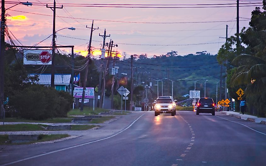
Belmopan is the capital of the Belize. The name “Belmopan” is derived from putting together two words: Belize, which is both the name of the country and the country’s longest river, and Mopan, which is a river in the city’s area that drains into the Belize River. The city was built with British aid after a hurricane destroyed 75% of the former nation’s capital, Belize City, in 1961. At first, Belmopan was mainly inhabited by public sector employees. It expanded rapidly, however, with the arrival of new immigrants, who settled in the city’s outskirts. The city now has a population of more than 20,000 people, and is the fastest-growing locality in the country.
Guatemala City, Guatemala
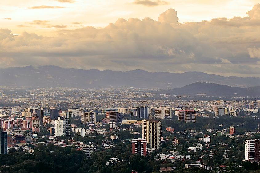
The capital of Guatemala is known simply as Guatemala City. It is the largest city in Central America, and has a population of 3.3 million people. The city is famous for its so-called chicken buses. These buses were originally school buses that were donated from the U.S. They are customized, however, to fit the needs of the people in Guatemala City. They are shortened so that they can better navigate through the city’s winding hills and roads. They are also fitted with faster engines. In addition, the buses are painted in vibrant colors. In fact, the buses are color-coded in relation to their destinations due to the fact that many people in the city are illiterate.
Tegucigalpa, Honduras
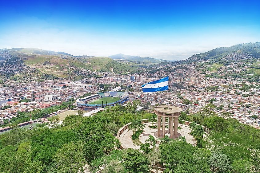
Tegucigalpa is the capital of Honduras. It has a population of approximately 1.1 million people, which makes it the largest city in the country. There are several theories as to the origins of the city’s name. The most widely accepted premise is that it is from the indigenous Nahuatl language, and means “hills of silver.” The city, which is nicknamed “Tegus” (Tay-goose) by locals, is situated in a high mountain valley about 1,000 meters above sea level. A river named Rio Choluteca runs right through the middle of the city. Some notable attractions in Tegucigalpa include some colonial-era churches, three museums, several markets, and many stores that sell handicrafts, mainly located in the city’s downtown.
San Salvador, El Salvador
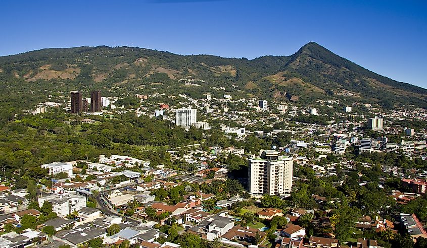
San Salvador is the capital of El Salvador. The name of the city, translated from Spanish, means “Holy Savior.” The city is situated on the Ace Chaute River in the Valle de las Hamacas (Valley of the Hammocks), and is surrounded by green-tipped volcanoes. It was founded in 1525 by Spanish conquistador Pedro de Alvaro. San Salvador’s current population is an estimated 1.1 million, however, the total metropolitan area, which includes the capital and 13 other municipalities, has a population that exceeds 2 million. Both the Central American Integration System (SICA) and the Central American Bank for Economic Integration (BCIE) have their headquarters in San Salvador.
Managua, Nicaragua
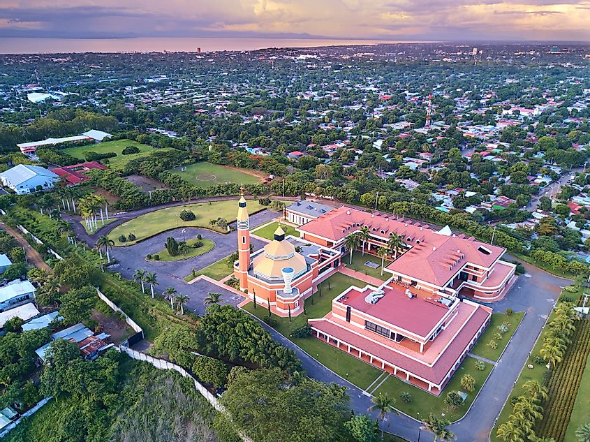
Managua has been the capital of Nicaragua since 1857. The city has a population of approximately 1.5 million people. The name “Managua” comes from the indigenous Nahuatl language and means “surrounded by ponds.” The city is also known as La Novia del Xolotlan, denoting its location on the shores of Lake Xolotlan. Among the attractions in the city are the Plaza de la Revolucion, which was built in celebration of the revolution that deposed the Somoza dictatorship; the Presidential House, the Palace of Culture, and the Cathedral of Santiago de Managua.
San Jose, Costa Rica
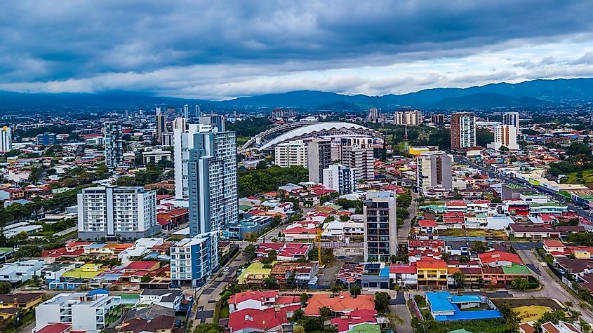
San Jose is the capital and most populous city of Costa Rica. Its name is Spanish for “St. Joseph.” The city has a population of about 1.4 million people. Its center includes a 72 hectare park called La Sabana. Adjacent to the park are two notable museums, the Museum of Costa Rican Art and the Natural Science Museum. San Jose also includes many restaurants called sodas, which are small, family-run restaurants, usually characterized by one family member cooking and the other waiting tables.
Panama City, Panama
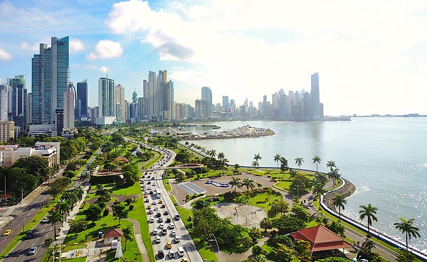
Panama City is the capital of the country of Panama. It is actually more like three cities in one. One part is an old, historic district, another is a rebuilt district, and the third is where the city’s most modern buildings are located. The most famous site in Panama City is the Panama Canal, one of the seven man-made wonders of the world. It connects the Pacific Ocean to the Atlantic , and is one of the world’s most vital trade routes. Panama City is also a UNESCO creative city for Gastronomy, which means that it has a very vibrant and diverse food scene. The city’s population is just shy of 1.9 million.

