Margarita Island
Margarita Island is a large island located in the Caribbean Sea just off the northeastern coast of Venezuela. Together with Isla de Coche (Coche Island) and Isla de Cubaga (Cubaga Island), Margarita Island forms a part of the Venezuelan state of Nueva Esparta. Covering a total area of about 1,020 km2, Margarita Island is the largest among the islands that make up Nueva Esparta. Margarita Island is often nicknamed the “Pearl of the Caribbean.”
Geography

Referred to as “Isla de Margarita,” the Margarita Island has a total length of about 78 km and a maximum width of 20 km. It is made up of two peninsulas, the Paraguachoa Peninsula and the Macanao Peninsula, that are joined by a narrow isthmus.
The western part of the island is formed by the Macanao Peninsula, which covers an area of about 330 km. The Macanao peninsula comprises a central mountain range that runs in the east-west direction. Pico de Macanao, which rises to an elevation of 760 m, is the highest point on the Península de Macanao. The San Francisco valley is the most significant valley that is situated in the north-central part of the Macanao Peninsula.
The Paraguachoa Peninsula which forms the eastern part of the island comprises a mountain range that runs in the north-south direction from the city of Porlamar to the Cabo Negro beach. The two highest peaks on the peninsula are Cerro Grande, which rises to an elevation of 920 m, and El Copey, which rises to an elevation of 890 m. Cerro Grande forms the highest point on Margarita Island.
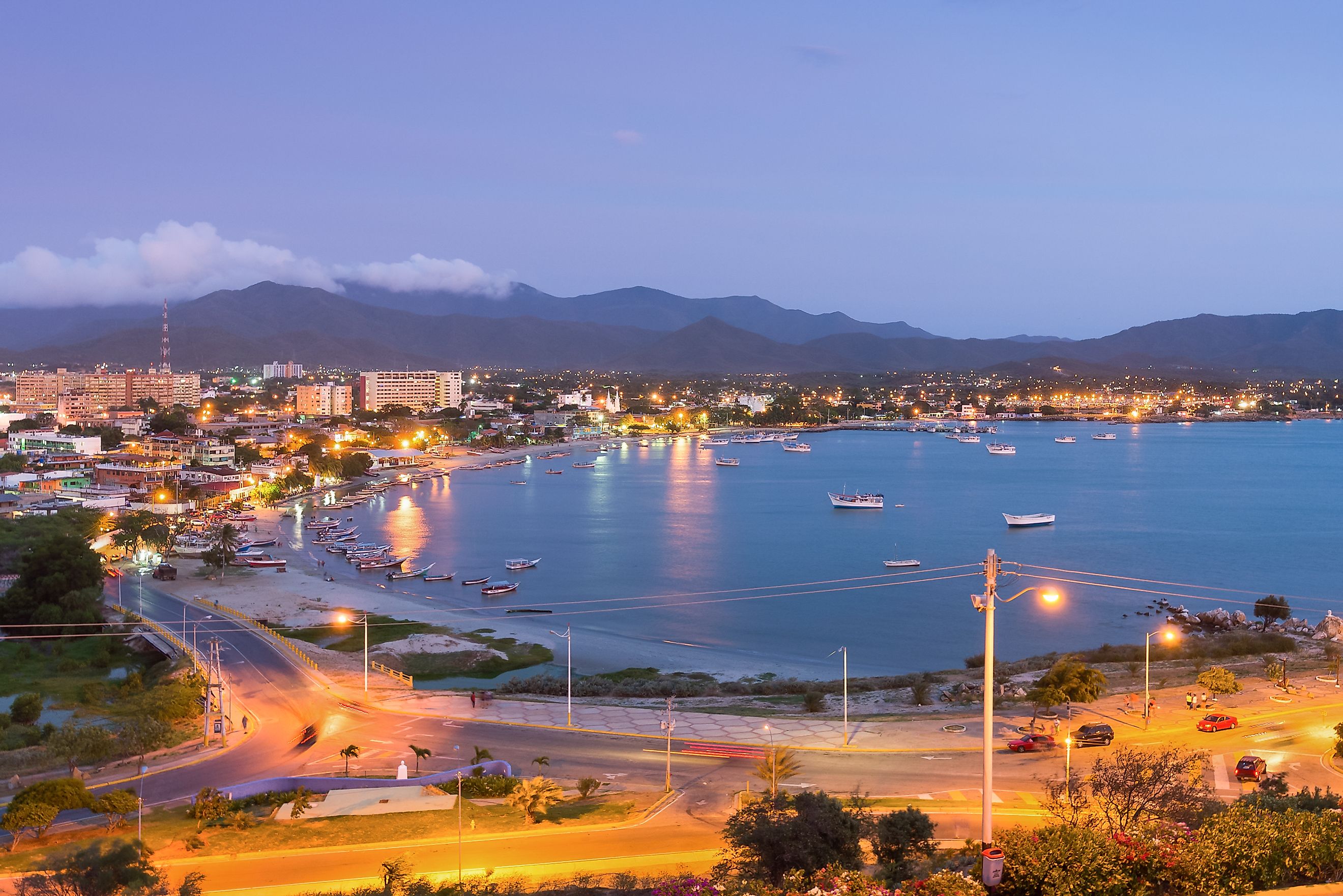
Located in the heart of the Paraguachoa Peninsula is the city of La Asunción, which serves as the capital and regional administrative center of Margarita Island as well as the entire Venezuelan State of Nueva Esparta. The city is positioned in a fertile valley and is surrounded by green hills. Other major cities that are located in this part of the island include Pampatar and Porlamar. The largest city of Margarita Island is Porlamar, which also serves as the island’s chief commercial center. The city of Juan Griego, which is located on the northern part of Margarita Island, serves as Venezuela’s most northern port.
The narrow La Restinga isthmus connecting the two peninsulas comprises the large La Restinga salt lagoon which forms a part of the Laguna de la Restinga National Park. Located on the isthmus are twin hills known as Tetas de Maria Guevara.
The 171 km-long coastline of Margarita Island features numerous white-sand beaches. Some of these popular beaches are Playa El Agua, Playa Caribe, Playa Punta Arenas, Playa Parguito, Playa Puerto Cruz and Playa El Yaque.
The climate of Margarita Island is very sunny and dry with average temperatures ranging between 24 °C and 37 °C. Although rainfall is rare, the island receives rain during the winter season.
Wildlife

The large La Restinga salt lagoon features mangrove forests that consist of many important mangrove species like black mangrove, red mangrove, and white mangrove. The lagoon is separated from the sea by seashells and a sandbar. The sandbar features different types of grass and buttonwood mangroves. The salt lagoon hosts many important fish like sardines, red snappers, grunt fish, black mullets, and swordfish. The notable avian species that are found here include frigatebirds, scarlet ibis, blue herons, egrets, flamingos, cormorants, and red-legged tinamous. The important endemic animals that are found on the island include the Leptotyphlops albifrons margaritae (snake), Odocoileus carriacou margaritae (deer), and the Sylvilagus floridanus margaritae (rabbit). The Laguna de la Restinga National Park has also been designated as an Important Bird Area by BirdLife International and an internationally important wetland under the Ramsar Convention.
Brief History

Margarita Island was first discovered by Christopher Columbus in 1498. The island was initially settled by the Indigenous Guaiqueries people. The island was named “Margarita” for a large number of pearls that covered the seabed around the island. In 1525, the island became the center of the Spanish Margarita Province. Throughout the 16th and 17th centuries, numerous forts were built along the coasts of the island to protect it from the increasing number of pirate attacks. In 1814, Margarita Island gained independence from the Spanish and became the first permanent free territory of Venezuela. The island was used as a base by the Venezuelan leader Simón Bolívar during the Second Republic of Venezuela in 1816. In 1974, Margarita Island was declared as a duty-free port by the Venezuelan Government.


