Mohave Valley
Mohave Valley is a small geographical region that spans portions of Arizona (predominantly), California, and Nevada. This area generally hugs the eastern shore of the Colorado River as it winds its way through the various surrounding mountain ranges. Mohave Valley is known for its high average annual temperatures, low humidity, low smog levels, and enticing communities within its boundary. The name "Mohave" comes from two sources. In 1540, a Spaniard named Melchor Diaz first encountered the indigenous peoples who identified themselves as the Pipa Aha Macav, which means "The People by the River." Aha Macav, which stems from the word ahamakav or ahamecav, was shortened to Mojave in Diaz's account. It may also trace its roots to the word hamakhava, which means "mountain peaks." The modern English spelling for the valley and county is now Mohave, while the local tribes continue to use the traditional Spanish spelling (as well as the original indigenous designation).
Geography Of Mohave Valley

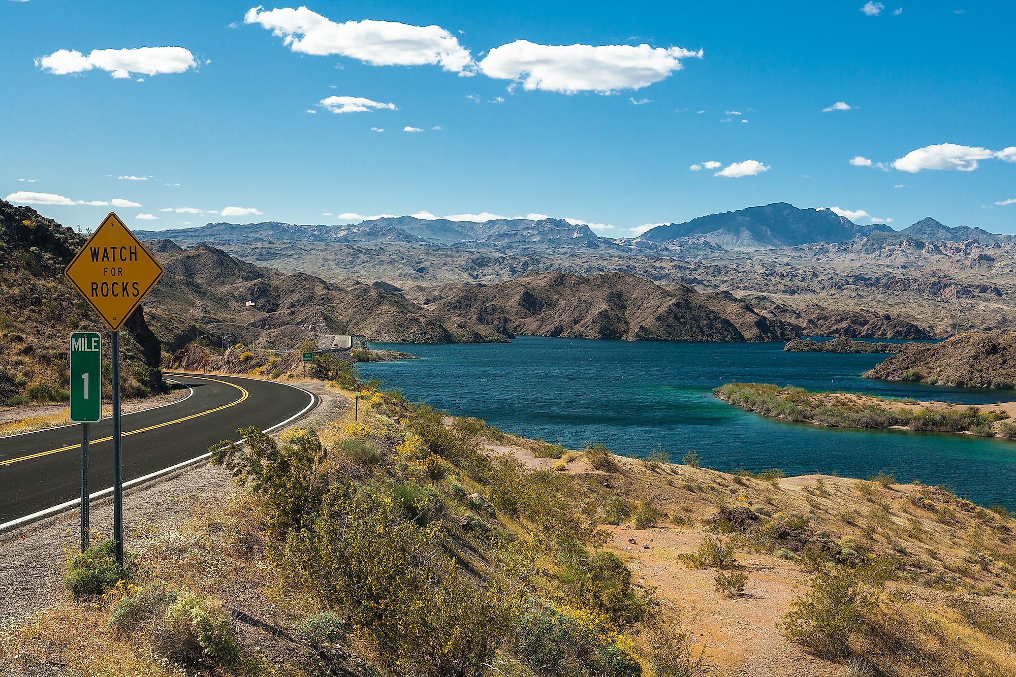
Mohave Valley comprises a fraction of the Mojave Desert. It is about 25-miles long, trending North-South, and upwards of 10-miles wide, though much of it is narrower. This region lies predominantly in Mohave County in Western Arizona. However, it also seeps into San Bernardino County, in southeastern California, as well as the southeastern tip of Clark County, in southeastern Nevada. The focal point of the region is the city of Mohave Valley, Arizona. Needles, California, defines the valley's boundary to the Southwest. The village of Topock, Arizona, Topock Marsh, and Interstate 40 (I-40) mark the Southern perimeter. Finally, Bullhead City, Arizona, defines the Northern terminus of the area. Running North-South through much of the valley, starting at Needles and the junction with I-40 is Arizona State Route (SR) 95. Throughout much of the Central and Southern aspects of Mohave Valley exists the Fort Mojave Indian Reservation, home to the Fort Mojave Indian Tribes, who are also still known as the Pipa Aha Macav. This tri-state reservation has its tribal headquarters in Needles, California.
Climate Of Mohave Valley
Mohave Valley is a sunny and dry place, with scorching summers and cool to mild winters. The average annual temperature is 23.8°C, ranging from a high of 43.3°C, typically reached in July, to a low of 6.11°C, typically reached in December or January. There are approximately 292 sunny days per year. On average, the region experiences 4.21 inches of precipitation across the year, most of which falls in early Spring. The average relative humidity is 24%. The months with the highest relative humidity are December and January, still with a modest average of 40%, and July is the driest month, at a mere 14% average relative humidity. Winter is generally considered to be the more comfortable time to visit Mohave Valley.
Important Landmarks Of Mohave Valley

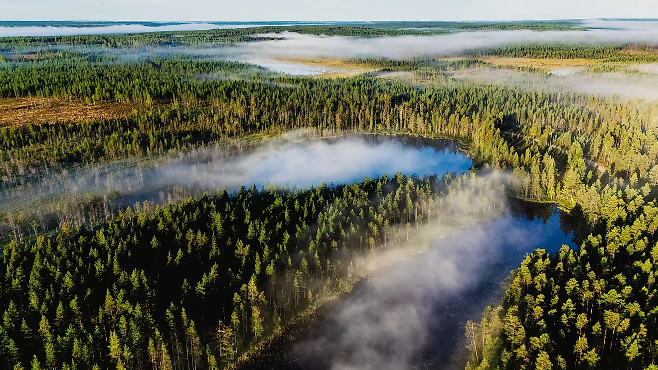
The valley primarily lies on the east bank of the Colorado River, surrounded by converging mountain ranges. To the west are the rust-colored Mountains of the Dead Mountains Wilderness Area. To the southwest are the Chemehuevi Mountains and the Chemehuevi Mountains Wilderness Area. To the South, there is the Topock Marsh. And to the east looms the Black Mountains of Arizona, which span 75 miles from southwest Mohave County up into the Lake Mead National Recreation Area. A particularly visible feature in the Western Black Mountains is the Boundary Cone - a pointy rock formation that resembles a cone or perhaps even a wizard's hat. In terms of bodies of water, the Colorado River connects Lake Mohave, which sits just north of the valley, with Lake Havasu, which is South of the valley's perimeter. Also adjacent to the Topock Marsh in Mohave Valley is Goose Lake.
Attractions In And Around Mohave Valley

Mohave Valley is known as a spot for retirement, outdoor recreation, and entertainment. Seniors gravitate here for the mild winters/low humidity, nearby casinos, various golf courses, and plentiful shopping opportunities. The surrounding wilderness also offers extensive opportunities for hiking, camping, mountain climbing, boating, bird watching, cycling, etc. And finally, the valley hosts various year-round events, including live music across many genres, races, and rallies at the Mohave Valley Raceway, the Fort Mojave Indian Tribe Pow Wow, which occurs every February, and much more.
Mohave Valley is a compact region dense with natural surroundings and eclectic communities. The climate is generally pleasant and fresh but beware of intense temperatures during the peak of summer. Therefore, the tri-state desert valley charm is best experienced during the winter or shoulder seasons.