Gambia River
Rivers have long been humanity's oldest friend, providing safety, agriculture, and water to the communities that thrive along their banks. The Gambia River, a vital ally for settlements in West Africa, is no exception. However, human tensions can center around these essential resources, which is why this specific river was targeted by colonizers 200 years ago. While the river's history includes periods of peace, exploitation, and dispute, it is essential to recognize the Gambia River's deeper relationship with its environment, the ecosystems it supports, and the climatic factors that influence its course.
Geography

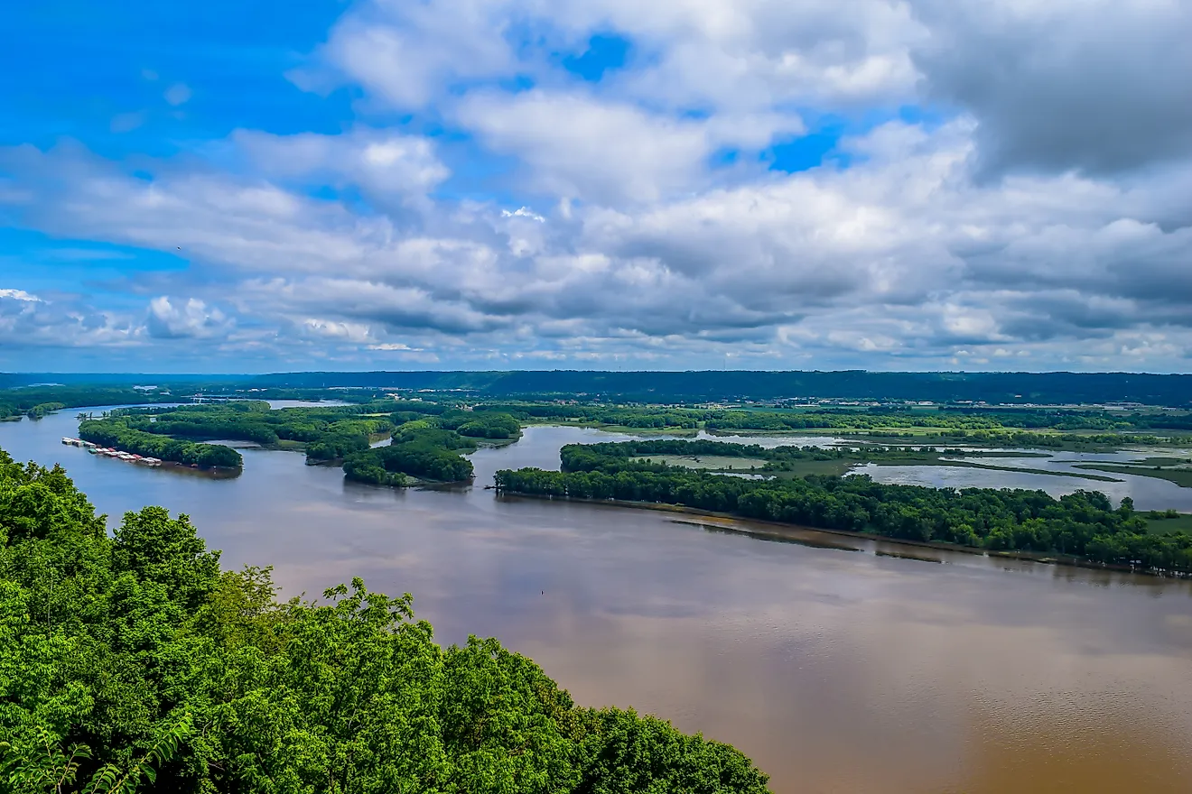
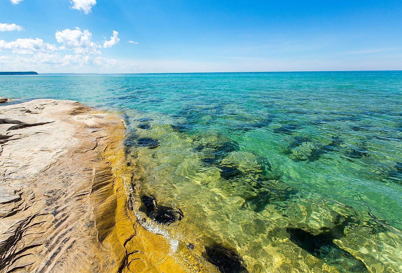
The Gambia River, a prominent geographical feature in West Africa, flows through the heart of the Republic of The Gambia and extends for approximately 700 miles. The river originates in the Fouta Djallon plateau in Guinea and meanders through Senegal before reaching the Atlantic Ocean in The Gambia.
Several key towns line the banks of the Gambia River, contributing to the human presence in the region. At the river's mouth, Banjul, the capital city of The Gambia, stands as an important urban center. As the river courses through the country, other significant towns such as Basse Santa Su, Kuntaur, and Farafenni dot its shores.
The Gambia River is also known for its abundant islands. The largest and most notable of these is Kunta Kinteh Island, formerly known as James Island, located near the town of Juffure. Other islands, such as Baboon, Elephant, and Dog Islands, also punctuate the river's expanse.

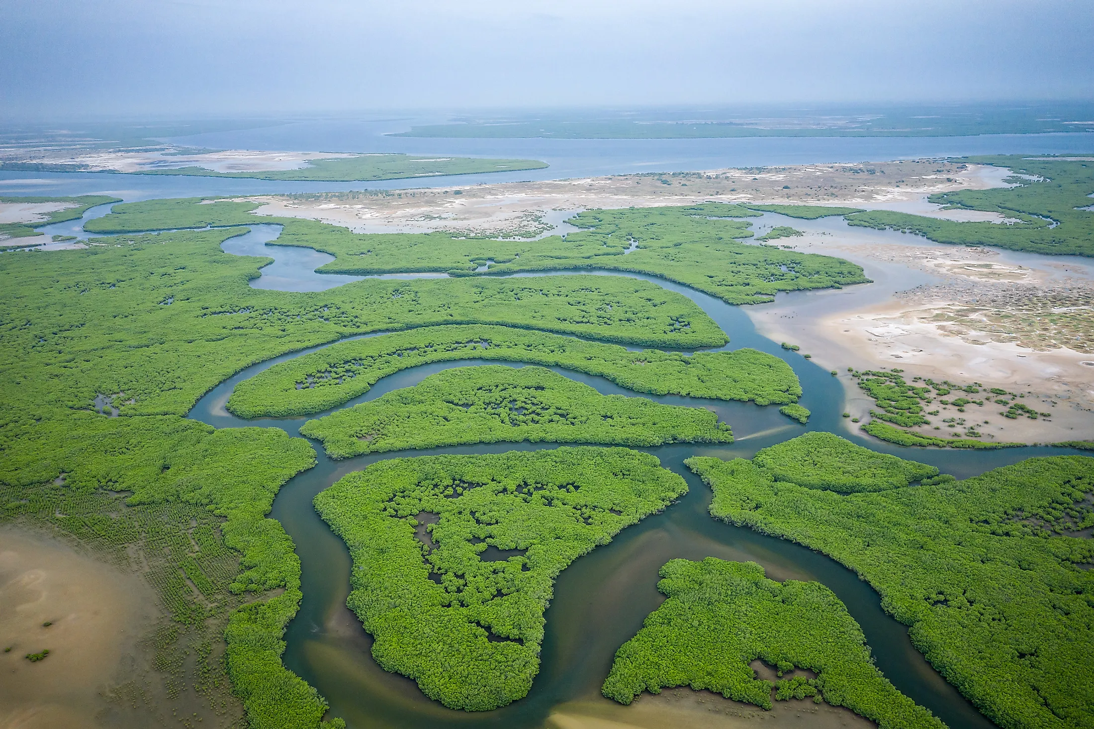
In terms of geographical regions, the Gambia River passes through a variety of landscapes. As it begins its journey in Guinea, the river navigates the lush, mountainous terrain of the Fouta Djallon plateau. As it enters Senegal, the river flows through the eastern side of the Niokolo-Koba National Park (a UNESCO World Heritage Site for the sake of conservation), characterized by dense savannahs and forests. Upon reaching The Gambia, the river takes on a more prominent role, becoming the main artery of the country and shaping the terrain into a series of floodplains and mangrove swamps.
History

The Gambia River has a history that spans centuries, marked by the rise and fall of powerful empires, the harrowing era of the transatlantic slave trade, and the eventual formation of the modern-day Republic of The Gambia.
The history of the Gambia River begins with the ancient empires that once flourished along its banks. The Ghana Empire, the first major West African state, thrived in the region from the 7th to the 13th centuries. Following the decline of the Ghana Empire, the Mali Empire emerged in the 13th century and took control of the Gambia River region. This powerful empire, which lasted until the 16th century, was succeeded by the Songhai Empire and then the Wolof and Fula states.
The arrival of European explorers in the 15th century marked a turning point in the history of the Gambia River. The Portuguese, led by explorer Alvise Cadamosto, were the first to navigate the river between 1447 and 1455. Over the next century, the Portuguese, Dutch, French, and British vied for control over the river, as it became a strategic hub for trade, particularly the transatlantic slave trade.
From the 16th to the 19th century, the Gambia River played a significant role in the slave trade. Forts and trading posts, such as Fort James on Kunta Kinteh Island, were built along the river to facilitate the capture, transport, and sale of enslaved Africans. Countless people (around 5,000/year in the 17th and 18th centuries) were forcibly taken from their homes, transported down the river, and sold to European slave traders, who then shipped them across the Atlantic to work on plantations in the Americas. The Gambia River, therefore, was a symbol of the immense human suffering caused by the transatlantic slave trade.
The abolition of the slave trade in the early 19th century ushered in a new era for the Gambia River region. The British, who began asserting control of the river in 1783, established the Gambia River as a crown colony in 1843, with Bathurst (now Banjul) as its capital. For the next century, the British continued to govern the area, using the Gambia River as a vital transport route for goods such as peanuts and timber.
In 1965, The Gambia gained independence from British rule, and the Gambia River became the lifeblood of the newly formed nation. The river's role in the development of the country cannot be overstated, as it has shaped not only the geographical boundaries of the nation but also its cultural and political identity.
Climate
The climate along the Gambia River varies depending on the location, but it can generally be described as tropical with two distinct seasons: the dry season and the rainy season.
The dry season, occurring from November to May, is characterized by low humidity, moderate temperatures, and northeasterly trade winds known as the Harmattan. During this period, the temperature is relatively mild, making it a comfortable time of the year. In contrast, the rainy season spans from June to October, bringing heavy rainfall, high humidity, and higher temperatures, which can reach up to 91°F. The precipitation during this time replenishes the river, as well as the ecosystems that rely on its waters.
Flora And Fauna

The diverse climate along the Gambia River supports an equally diverse array of flora and fauna. In the upper reaches of the river, near the Fouta Djallon plateau, dense forests and woodlands provide habitats for various tree species, such as mahogany, silk cotton, and African teak. As the river flows towards the Atlantic Ocean, the vegetation transitions into a mix of savannah woodlands and grasslands, dominated by acacia, baobab, and various grass species.
In its dense forests and woodlands, animals such as baboons, colobus monkeys, and various antelope species can be found. As the river flows through the savannah regions, the fauna becomes even more diverse, with animals such as elephants, lions, leopards, and hyenas roaming the plains. In addition, the Gambia River is a haven for birdlife, with over 540 bird species recorded in the area, including the African fish eagle, the Abyssinian roller, and the white-backed vulture.

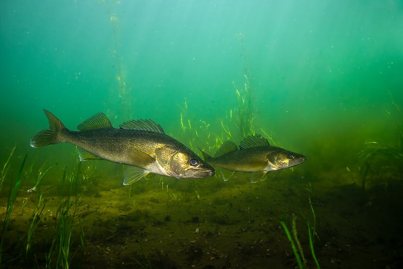
The river itself is a thriving aquatic ecosystem, providing a habitat for numerous fish species, such as Nile perch, African catfish, and tilapia. The Gambia River's estuary, where it meets the Atlantic Ocean, is also an essential habitat for various marine species, such as dolphins, manatees, and sea turtles.
Economy And Industry

The waters and fertile banks of the river support various industries and livelihoods, particularly within the Republic of The Gambia.
Agriculture is one of the primary industries benefiting from the Gambia River. The river's floodplains and fertile soil offer ideal conditions for farming, with rice, millet, and sorghum being the main staple crops cultivated along its banks. In addition, the Gambia River region is renowned for its groundnut production, which serves as one of the country's primary cash crops and export commodities. Farmers also grow various fruits and vegetables, such as mangoes, oranges, and tomatoes, contributing to the region's food security and agricultural economy.
The Gambia River also supports a vibrant fishing industry. Its waters are home to a wide variety of fish species, providing a vital source of protein and income for local communities. Artisanal fishing is widespread along the river, with fishermen using traditional methods such as dugout canoes and fishing nets to harvest their catch. The fish are then sold at local markets or processed for export, contributing to the region's economy.

Transportation and trade have long been essential components of the Gambia River's economy. The river serves as a crucial transport artery, connecting remote communities and facilitating the movement of goods and people. In the past, the river was a key trade route for the export of slaves, timber, and other commodities. Today, it remains an essential means of transporting agricultural products, such as groundnuts and timber, to markets and ports for export.

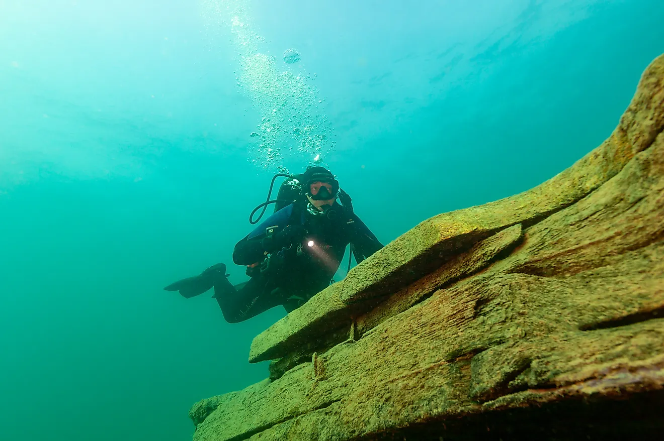
Tourism is another growing industry along the Gambia River. The river's diverse landscapes, flora, and fauna attract visitors from around the world, seeking to experience its natural beauty and unique cultural heritage. River cruises, birdwatching tours, and visits to historical sites, such as Kunta Kinteh Island and the ancient stone circles of Wassu, are popular tourist activities. The tourism industry generates valuable income for local communities and contributes to the overall economy of the region.
The Gambia River has played a critical role in shaping the geography, history, and culture of West Africa, particularly the Republic of The Gambia. This vital resource has nurtured a diverse array of ecosystems, supported various industries, and facilitated trade and transportation for centuries. As we look to the future, it is essential that we value the preservation of the Gambia River while simultaneously fostering its economic potential. By maintaining productive and conservation-focused relationships with rivers like the Gambia, humanity can ensure that these natural assets continue to bless future generations.