8 Most Scenic Drives in Northern California
Northern California is a land of contrasts, where redwood forests meet rugged coastlines, and alpine lakes sparkle beneath snow-capped peaks. From the misty shores of the Pacific to the volcanic landscapes of the Cascade Range, this region is a paradise for road trippers seeking breathtaking scenery and unforgettable experiences. The best time to explore Northern California’s scenic drives is from late spring through early fall, when mountain passes are open and coastal weather is mild. Highway 1 and the Avenue of the Giants can be foggy in the mornings, so plan for slow, relaxed drives. Always check for seasonal closures in areas like Lassen Volcanic National Park and Ebbetts Pass, where snow can linger into early summer. Pack layers, temperatures can shift dramatically between coastlines and high elevations, and allow plenty of time to stop and enjoy the countless viewpoints, trails, and charming small towns along the way.
Each drive reveals a different facet of California’s natural beauty, whether winding through wine country, tracing the cliffs above the ocean, or climbing toward mountain vistas. For those ready to hit the open road, these eight scenic drives showcase the very best of Northern California.
Pacific Coast Highway, from San Francisco to Mendocino

Few roads capture the romance of California like the Pacific Coast Highway, also known as Highway 1. Stretching 656 miles along the coastline, this route delivers dramatic ocean views at every turn. A five-hour drive from San Francisco to Mendocino will take you through a series of stunning vistas on this iconic highway. Traveling north from San Francisco, drivers pass through the charming town of Point Reyes Station, known for its artisan cheese and sweeping coastal trails, before reaching Bodega Bay, where fishing boats and seabirds fill the harbor. Continuing toward Mendocino, the highway twists along sheer cliffs above the Pacific. Stop at Goat Rock Beach and then again at the Point Arena Lighthouse for views that define the Northern California coast. While renowned for its breathtaking scenery, portions of the highway are often closed by landslides, especially near Big Sur, so travelers should check current conditions before setting out. The route’s blend of wild beauty and seaside charm makes it one of the most memorable drives in the state. Finish your drive in beautiful Mendocino.
Avenue of the Giants

The Avenue of the Giants is a 31-mile scenic route that runs parallel to Highway 101 through Humboldt Redwoods State Park, home to some of the tallest trees on Earth. As sunlight filters through towering redwoods, drivers feel as though they have entered a natural cathedral. The road was once part of the original Route 101 until a freeway bypass was built in 1960, and it remains preserved thanks to early conservation efforts by the Save the Redwoods League, founded in 1917 to protect these ancient forests. Along the route, visitors can stop to walk among ancient trees in the Founders Grove, or even drive through a living redwood at the Shrine Drive-Thru Tree. Small towns like Miranda and Phillipsville offer local art, crafts, and cozy cafés. This peaceful drive is not about speed but about slowing down to appreciate nature’s grandeur.
Lake Tahoe Scenic Drive

Encircling one of the most beautiful alpine lakes in the world, the Lake Tahoe Scenic Drive offers about 72 miles of sparkling views and forested shoreline. Beginning near South Lake Tahoe, the route follows Highway 89 past Emerald Bay, where turquoise waters and the small island of Fannette create one of the most photographed vistas in California. Along the western shore, travelers can stop at Sugar Pine Point State Park to hike or picnic beneath towering pines. Crossing into Nevada near Incline Village, the road winds through mountain passes before returning to California. A full loop around the lake will take you between two and three hours, plus stops. Whether blanketed in snow or bathed in summer sunshine, Lake Tahoe is a spectacular sight year-round.
Lassen Volcanic National Park Highway

For travelers seeking a drive that feels otherworldly, the Lassen Volcanic National Park Highway delivers a journey through one of California’s most geologically active regions. Stretching 30 miles from the park’s southwest entrance to its northern boundary, this route climbs past steaming fumaroles, lava rocks, and alpine lakes. Highlights include Bumpass Hell, a hydrothermal area with boiling mud pots, and the serene Manzanita Lake, where reflections of Lassen Peak mirror perfectly on calm mornings. Stop for a photo at Hot Rock, a massive 300-ton boulder of dacite lava carried down the mountainside during the eruption of Lassen Peak. It was said to have sizzled for nearly two days after being ejected. The highway reaches elevations above 8,500 feet, offering panoramic views of the surrounding wilderness. Open seasonally due to snow, this drive reveals California’s volcanic heart at its most dramatic.
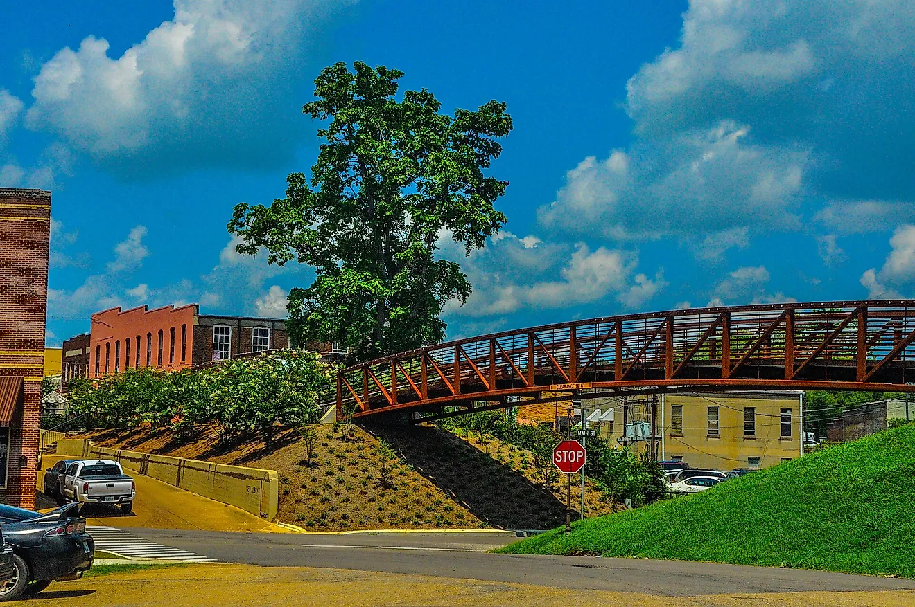
The Golden Chain Highway

Named for the Forty-Niners who rushed to California in 1849, the Golden Chain Highway, or Highway 49, traces the foothills of the Sierra Nevada through Gold Country. The 300-mile route passes through historic mining towns such as Auburn, Grass Valley, and Sonora, where brick storefronts and saloons preserve the Old West atmosphere. Museums and restored buildings offer glimpses into California’s gold rush past, while scenic detours lead to wineries, hiking trails, and mountain rivers. In autumn, oak-covered hills glow in shades of amber and gold, adding to the drive’s nostalgic charm. Highway 49 is more than a scenic route; it's a journey through the stories that built Northern California.
Ebbetts Pass Scenic Byway

One of California’s most beautiful yet lesser-known mountain drives, the Ebbetts Pass Scenic Byway, containing parts of Highway 4 and Highway 89, stretches 61 miles from Markleeville to Arnold, crossing the Sierra Nevada, peaking at an elevation of over 8,700 feet. The narrow, winding road passes alpine lakes, granite cliffs, and dense forests, offering a quieter alternative to more crowded mountain routes. Along the way, travelers can stop at Lake Alpine for kayaking or hiking, and at Mosquito Lake for a picnic beside crystal-clear water. During the fall, the aspens turn brilliant shades of yellow and orange, creating a painterly landscape. The byway’s remote beauty and unspoiled character make it a favorite for those seeking solitude in the high Sierra.
Trinity River Scenic Byway

The Trinity River Scenic Byway follows Highway 299 for about 140 miles from Redding to the coast near Arcata, cutting through some of Northern California’s most rugged and varied terrain. The road winds along the Trinity River, a popular spot for rafting and fishing, before climbing through the forested mountains of the Trinity Alps. Small communities like Weaverville and Willow Creek offer a mix of Gold Rush history and outdoor recreation. Drivers can stop at overlooks to take in sweeping views of the river valley or explore trailheads leading deep into the wilderness. Combining adventure, serenity, and striking scenery, the Trinity Scenic Byway captures the untamed spirit of Northern California.
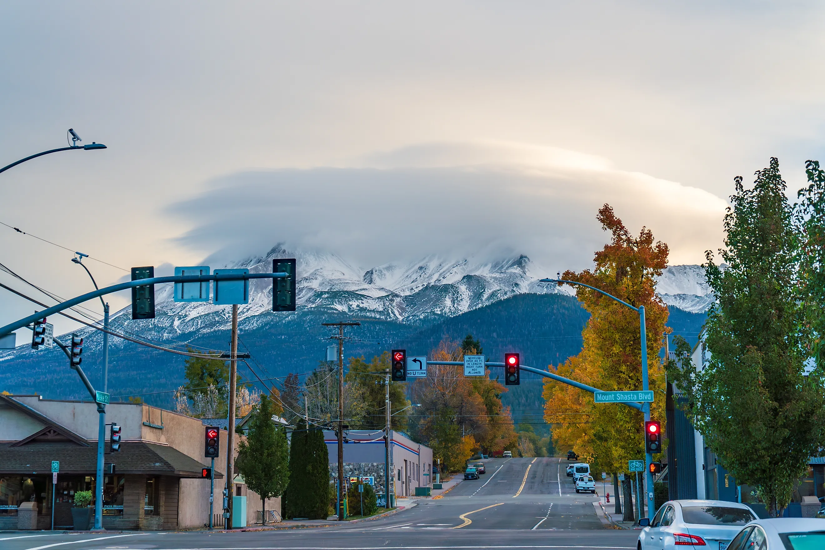
Mount Shasta-McCloud Scenic Drive

Dominated by the towering 14,179-foot peak of Mount Shasta, this 60-mile drive explores one of California’s most awe-inspiring volcanic landscapes. Following the Everitt Memorial Highway through the mountain’s lower slopes, where viewpoints reveal glaciers and forested valleys below, descend into the town of Mount Shasta. Then take Route 89 into nearby McCloud, travelers can visit the McCloud Falls, three cascades tumbling through a basalt canyon, or stop at the historic McCloud Mercantile Hotel for a meal with mountain views. The combination of alpine wilderness and small-town hospitality makes this drive both serene and uplifting. For many, it feels less like a road trip and more like a spiritual experience.
The Call of the Northern Roads
The scenic drives of Northern California reveal a region of extraordinary diversity and timeless beauty. From coastal cliffs to volcanic peaks, and from quiet redwood groves to lively mountain towns, each route offers a distinct window into the state’s natural and cultural heritage. These drives are more than just roads; they are invitations to explore, pause, and reconnect with the landscapes that define California’s northern spirit. Whether following the ocean’s edge or ascending to high mountain passes, travelers will find that every mile tells a story, and every curve leads to something unforgettable.