Maps of Wallis and Futuna

Covering a land area of 142.42 sq.km (54.99 sq mi), Wallis and Futuna Islands is an overseas collectivity of France, located in the south Pacific Ocean. The territory comprises of 3 principal volcanic islands and several small islets, split into two island groups the Wallis Islands and the Futuna Islands. Located on the Futuna Island is the island territory’s highest point – Mont Puke at an elevation of 524m (1,719ft).
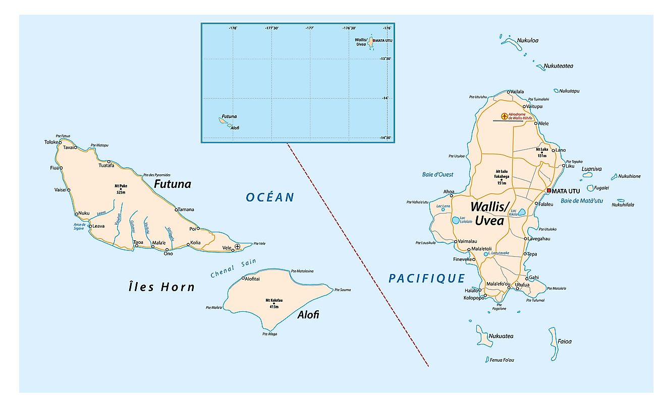
Wallis and Futuna (officially, the Territory of the Wallis and Futuna Islands) has 3 administrative precints (circonscriptions, sing. circonscription). These are Alo, Sigave and Uvéa. Uvéa, located on the Wallis Island is further subdivided into 3 districts namely, Hihifo, Hahake and Mu’a. Sigave and Alo are located on the Futuna Islands.
Covering a land area of 142.42 sq.km, Wallis and Futuna Islands is an overseas collectivity of France, located in the south Pacific Ocean. The territory comprises of 3 principal volcanic islands and several small islets, split into two island groups namely the Wallis Islands in the northeast and the Futuna Islands (Futuna Island proper and Alofi) in the southwest.
Located on the eastern coast of Uvéa island in the Hahake district is, Mata’Utu – the capital of Wallis and Futuna Islands. It is the administrative, economic and the largest urban center on Wallis Islands. It also serves as one of the main ports of Wallis and Futuna Islands.
Where is Wallis and Futuna?

Wallis and Futuna Islands is an overseas collectivity of France comprising of 3 principal volcanic islands and several small islets, located in the south Pacific Ocean. The Islands lie roughly two-thirds of the way from Hawaii and New Zealand. It is geographically positioned both in the Western and Southern hemispheres of the Earth. The island territory is located to the west of Samoa and to the north-east of Fiji.
Regional Maps: Map of
Outline Map of Wallis and Futuna

Wallis and Futuna Islands is an overseas collectivity of France comprising of 3 principal volcanic islands and several small islets, located in the south Pacific Ocean. The above map can be downloaded, printed and used for geography education purposes like map-pointing and coloring activities.

The above map represents Wallis and Futuna Islands - an overseas collectivity of France comprising of 3 principal volcanic islands and several small islets, located in the south Pacific Ocean.
Key Facts
| Legal Name | Territory of the Wallis and Futuna Islands |
|---|---|
| Flag |
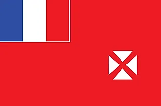
|
| Capital City | Mata-Utu (on Ile Uvea) |
| 13 57 S, 171 56 W | |
| Total Area | 142.00 km2 |
| Land Area | 142.00 km2 |
| Water Area | N/A |
| Population | 15,763 |
| Currency | Comptoirs Francais du Pacifique francs (XPF) |
This page was last updated on November 23, 2020