Where is Campbell County, Wyoming?
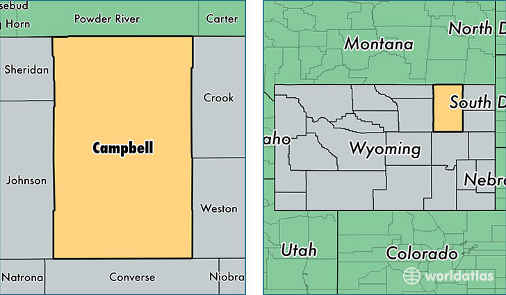
Campbell County is a county equivalent area found in Wyoming, USA. The county government of Campbell is found in the county seat of Gillette.
With a total 12,449.05 sq. km of land and water area, Campbell County, Wyoming is the 92nd largest county equivalent area in the United States. Home to 48,320 people, Campbell County has a total 19438 households earning 79488 on average per year.
Campbell County, Wyoming - Quick Facts
| FIPS Code | 56005 |
| Area Codes | 307 |
| Time Zone | MST |
| Major Cities | Gillette (population: 43,428), Wright (population: 2,235), Rozet (population: 1,907), Arvada (population: 219), Recluse (population: 214), Weston (population: 140) |
| Land Area | 18,656 sq miles |
| Water Area | 4,803 sq miles |
| Household Income | $79,488 |
| Housing Units | 19,438 |
| Median Home Value | $201,900 |
| High School Grads | 92% of population |
| Holders of Bachelors Degrees | 19% of population |
| Retail Spending | $19,157 per capita |
| Food & Accomodation Sales | $89,245 per capita |
This page was last updated on June 30, 2016.