Where is Wood County, Wisconsin?
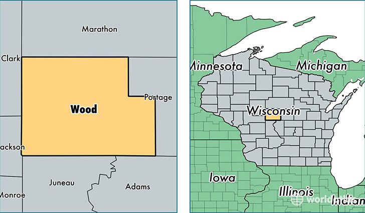
Wood County is a county equivalent area found in Wisconsin, USA. The county government of Wood is found in the county seat of Wisconsin Rapids.
With a total 2,096.02 sq. km of land and water area, Wood County, Wisconsin is the 1152nd largest county equivalent area in the United States. Home to 73,608 people, Wood County has a total 34120 households earning 47685 on average per year.
Wood County, Wisconsin - Quick Facts
| FIPS Code | 55141 |
| Area Codes | 715 |
| Time Zone | CST |
| Major Cities | Wisconsin Rapids (population: 34,630), Marshfield (population: 26,336), Nekoosa (population: 8,488), Pittsville (population: 2,803), Arpin (population: 2,381), Auburndale (population: 2,175), Port Edwards (population: 1,784), Vesper (population: 1,543), Rudolph (population: 1,476), Milladore (population: 1,273) |
| Land Area | 28,420 sq miles |
| Water Area | 793 sq miles |
| Household Income | $47,685 |
| Housing Units | 34,120 |
| Median Home Value | $119,300 |
| High School Grads | 91% of population |
| Holders of Bachelors Degrees | 19% of population |
| Retail Spending | $13,585 per capita |
| Food & Accomodation Sales | $84,291 per capita |
This page was last updated on June 30, 2016.