Where is Trempealeau County, Wisconsin?
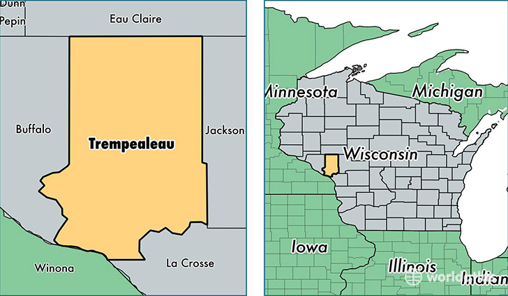
Trempealeau County is a county equivalent area found in Wisconsin, USA. The county government of Trempealeau is found in the county seat of Whitehall.
With a total 1,921.84 sq. km of land and water area, Trempealeau County, Wisconsin is the 1295th largest county equivalent area in the United States. Home to 29,509 people, Trempealeau County has a total 12694 households earning 49143 on average per year.
Trempealeau County, Wisconsin - Quick Facts
| FIPS Code | 55121 |
| Area Codes | 608,715 |
| Time Zone | CST |
| Major Cities | Arcadia (population: 5,220), Osseo (population: 4,695), Galesville (population: 3,832), Trempealeau (population: 3,472), Whitehall (population: 3,391), Blair (population: 2,644), Independence (population: 2,565), Strum (population: 2,136), Ettrick (population: 1,848), Pigeon Falls (population: 259) |
| Land Area | 11,393 sq miles |
| Water Area | 733 sq miles |
| Household Income | $49,143 |
| Housing Units | 12,694 |
| Median Home Value | $135,200 |
| High School Grads | 88% of population |
| Holders of Bachelors Degrees | 18% of population |
| Retail Spending | $9,088 per capita |
This page was last updated on June 30, 2016.