Where is Dane County, Wisconsin?
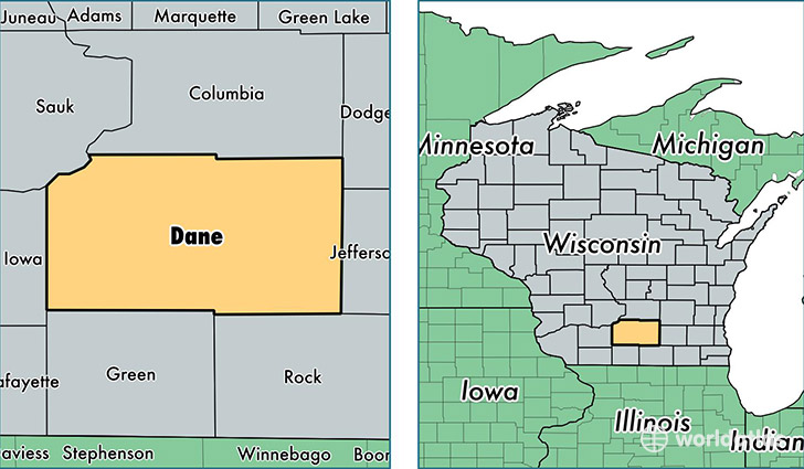
Dane County is a county equivalent area found in Wisconsin, USA. The county government of Dane is found in the county seat of Madison.
With a total 3,207.2 sq. km of land and water area, Dane County, Wisconsin is the 562nd largest county equivalent area in the United States. Home to 516,284 people, Dane County has a total 219540 households earning 61721 on average per year.
Dane County, Wisconsin offers the following attractions to visitors: Chazen Museum of Art, UW-Madison Geology Museum, Ice Age NST
Dane County, Wisconsin - Quick Facts
| FIPS Code | 55025 |
| Area Codes | 608 |
| Time Zone | CST |
| Major Cities | Madison (population: 281,573), Sun Prairie (population: 37,442), Middleton (population: 24,374), Stoughton (population: 20,041), Verona (population: 19,833), Waunakee (population: 17,377), Oregon (population: 15,984), DeForest (population: 14,028), McFarland (population: 11,082), Mount Horeb (population: 10,285) |
| Land Area | 199,338 sq miles |
| Water Area | 1,197 sq miles |
| Household Income | $61,721 |
| Housing Units | 219,540 |
| Median Home Value | $228,800 |
| High School Grads | 95% of population |
| Holders of Bachelors Degrees | 47% of population |
| Retail Spending | $14,976 per capita |
| Food & Accomodation Sales | $916,701 per capita |
| Universities and Colleges | Madison Cosmetology College, University of Wisconsin-System Administration, University of Wisconsin Extension, Madison Media Institute |
This page was last updated on June 30, 2016.