Where is Westmoreland County, Virginia?
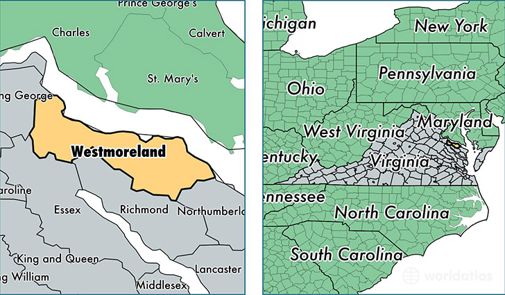
Westmoreland County is a county equivalent area found in Virginia, USA. The county government of Westmoreland is found in the county seat of Montross.
With a total 655.18 sq. km of land and water area, Westmoreland County, Virginia is the 2944th largest county equivalent area in the United States. Home to 17,477 people, Westmoreland County has a total 10706 households earning 49157 on average per year.
Westmoreland County, Virginia offers the following attraction to visitors: George Washington Birthplace NM
Westmoreland County, Virginia - Quick Facts
| FIPS Code | 51193 |
| Area Codes | 804 |
| Time Zone | EST |
| Major Cities | Colonial Beach (population: 8,115), Montross (population: 5,423), Hague (population: 1,928), Kinsale (population: 1,403), Oldhams (population: 336) |
| Land Area | 6,748 sq miles |
| Water Area | 229 sq miles |
| Household Income | $49,157 |
| Housing Units | 10,706 |
| Median Home Value | $180,900 |
| High School Grads | 79% of population |
| Holders of Bachelors Degrees | 15% of population |
| Retail Spending | $5,794 per capita |
| Food & Accomodation Sales | $14,209 per capita |
This page was last updated on June 30, 2016.