Where is Northampton County, Virginia?
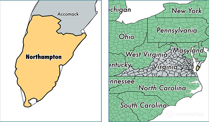
Northampton County is a county equivalent area found in Virginia, USA. The county government of Northampton is found in the county seat of Eastville.
With a total 2,059.68 sq. km of land and water area, Northampton County, Virginia is the 1188th largest county equivalent area in the United States. Home to 12,121 people, Northampton County has a total 7293 households earning 33635 on average per year.
Northampton County, Virginia - Quick Facts
| FIPS Code | 51131 |
| Area Codes | 757 |
| Time Zone | EST |
| Major Cities | Cape Charles (population: 4,673), Exmore (population: 3,358), Machipongo (population: 960), Nassawadox (population: 828), Birdsnest (population: 758), Eastville (population: 662), Cheriton (population: 337), Franktown (population: 204), Jamesville (population: 150), Willis Wharf (population: 138) |
| Land Area | 4,680 sq miles |
| Water Area | 212 sq miles |
| Household Income | $33,635 |
| Housing Units | 7,293 |
| Median Home Value | $168,800 |
| High School Grads | 78% of population |
| Holders of Bachelors Degrees | 20% of population |
| Retail Spending | $10,072 per capita |
| Food & Accomodation Sales | $23,555 per capita |
This page was last updated on June 30, 2016.