Where is Lancaster County, Virginia?
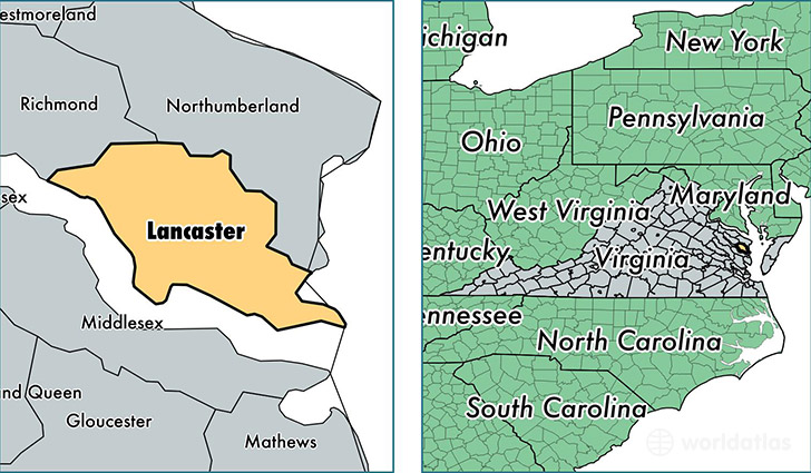
Lancaster County is a county equivalent area found in Virginia, USA. The county government of Lancaster is found in the county seat of Lancaster.
With a total 599.34 sq. km of land and water area, Lancaster County, Virginia is the 2978th largest county equivalent area in the United States. Home to 11,044 people, Lancaster County has a total 7533 households earning 49248 on average per year.
Lancaster County, Virginia - Quick Facts
| FIPS Code | 51103 |
| Area Codes | 804 |
| Time Zone | EST |
| Major Cities | Lancaster (population: 4,275), White Stone (population: 2,475), Weems (population: 1,760), Irvington (population: 704), Lively (population: 55) |
| Land Area | 4,264 sq miles |
| Water Area | 133 sq miles |
| Household Income | $49,248 |
| Housing Units | 7,533 |
| Median Home Value | $233,400 |
| High School Grads | 88% of population |
| Holders of Bachelors Degrees | 28% of population |
| Retail Spending | $14,500 per capita |
| Food & Accomodation Sales | $15,990 per capita |
This page was last updated on June 30, 2016.