Where is Todd County, South Dakota?
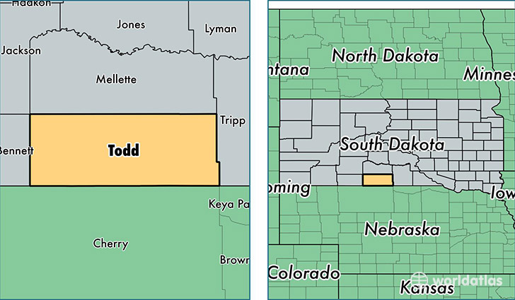
Todd County is a county equivalent area found in South Dakota, USA.
With a total 3,601.92 sq. km of land and water area, Todd County, South Dakota is the 487th largest county equivalent area in the United States. Home to 9,882 people, Todd County has a total 3123 households earning 31934 on average per year.
Todd County, South Dakota - Quick Facts
| FIPS Code | 46121 |
| Area Codes | 605 |
| Time Zone | CST |
| Major Cities | Mission (population: 3,965), Rosebud (population: 2,134), Saint Francis (population: 1,910), Parmelee (population: 1,096), Okreek (population: 248) |
| Land Area | 3,815 sq miles |
| Water Area | 1,388 sq miles |
| Household Income | $31,934 |
| Housing Units | 3,123 |
| Median Home Value | $40,200 |
| High School Grads | 78% of population |
| Holders of Bachelors Degrees | 12% of population |
| Retail Spending | $3,911 per capita |
| Food & Accomodation Sales | $1,719 per capita |
| Universities and Colleges | Sinte Gleska University |
This page was last updated on June 30, 2016.