Where is Hand County, South Dakota?
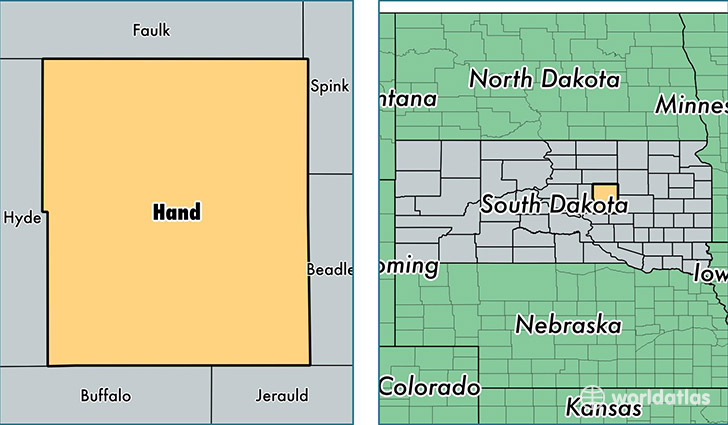
Hand County is a county equivalent area found in South Dakota, USA. The county government of Hand is found in the county seat of Miller.
With a total 3,730.01 sq. km of land and water area, Hand County, South Dakota is the 469th largest county equivalent area in the United States. Home to 3,345 people, Hand County has a total 1807 households earning 47679 on average per year.
Hand County, South Dakota - Quick Facts
| FIPS Code | 46059 |
| Area Codes | 605 |
| Time Zone | CST |
| Major Cities | Miller (population: 2,122), Saint Lawrence (population: 431), Orient (population: 290), Ree Heights (population: 231) |
| Land Area | 1,292 sq miles |
| Water Area | 1,437 sq miles |
| Household Income | $47,679 |
| Housing Units | 1,807 |
| Median Home Value | $86,400 |
| High School Grads | 88% of population |
| Holders of Bachelors Degrees | 18% of population |
| Retail Spending | $9,283 per capita |
| Food & Accomodation Sales | $2,747 per capita |
This page was last updated on June 30, 2016.