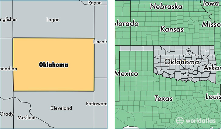
Where is Oklahoma County, Oklahoma?
Oklahoma County is a county equivalent area found in Oklahoma, USA. The county government of Oklahoma is found in the county seat of Oklahoma City.
With a total 1,860.58 sq. km of land and water area, Oklahoma County, Oklahoma is the 1380th largest county equivalent area in the United States. Home to 766,215 people, Oklahoma County has a total 325315 households earning 45215 on average per year.
Oklahoma County, Oklahoma offers the following attractions to visitors: Oklahoma City National Memorial, Oklahoma City NMEM
Oklahoma is the home to this professional sports team: Oklahoma City Thunder (NBA)
Oklahoma County, Oklahoma - Quick Facts
| FIPS Code | 40109 |
| Area Codes | 405 |
| Time Zone | CST |
| Major Cities | Oklahoma City (population: 562,157), Edmond (population: 146,563), Choctaw (population: 21,482), Bethany (population: 20,437), Harrah (population: 10,653), Spencer (population: 6,727), Jones (population: 6,100), Luther (population: 4,303), Arcadia (population: 2,253), Nicoma Park (population: 430) |
| Land Area | 295,837 sq miles |
| Water Area | 709 sq miles |
| Household Income | $45,215 |
| Housing Units | 325,315 |
| Median Home Value | $126,500 |
| High School Grads | 86% of population |
| Holders of Bachelors Degrees | 30% of population |
| Retail Spending | $15,382 per capita |
| Food & Accomodation Sales | $1,500,945 per capita |
| Universities and Colleges | Hillsdale Free Will Baptist College, Oklahoma Christian University, Oklahoma State University-Oklahoma City, State Barber and Hair Design College, Southwestern Christian University, Heritage College, ITT Technical Institute-Oklahoma City |
This page was last updated on June 30, 2016.