Where is Santa Fe County, New Mexico?
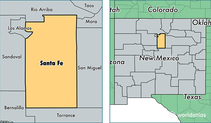
Santa Fe County is a county equivalent area found in New Mexico, USA. The county government of Santa Fe is found in the county seat of Santa Fe.
With a total 4,949.06 sq. km of land and water area, Santa Fe County, New Mexico is the 339th largest county equivalent area in the United States. Home to 148,164 people, Santa Fe County has a total 71361 households earning 52917 on average per year.
Santa Fe County, New Mexico offers the following attractions to visitors: Old Spanish NHT, Old Spanish NHT, Trail of Tears NHT
Santa Fe County, New Mexico - Quick Facts
| FIPS Code | 35049 |
| Area Codes | 505 |
| Time Zone | MST |
| Major Cities | Santa Fe (population: 124,689), Edgewood (population: 13,219), Santa Cruz (population: 1,658), Glorieta (population: 1,280), Cerrillos (population: 1,156), Stanley (population: 968), Lamy (population: 937), Tesuque (population: 189) |
| Land Area | 57,206 sq miles |
| Water Area | 1,909 sq miles |
| Household Income | $52,917 |
| Housing Units | 71,361 |
| Median Home Value | $278,400 |
| High School Grads | 87% of population |
| Holders of Bachelors Degrees | 40% of population |
| Retail Spending | $16,923 per capita |
| Food & Accomodation Sales | $540,400 per capita |
| Universities and Colleges | Santa Fe Community College, St John's College |
This page was last updated on June 30, 2016.