Lea County, NM, USA
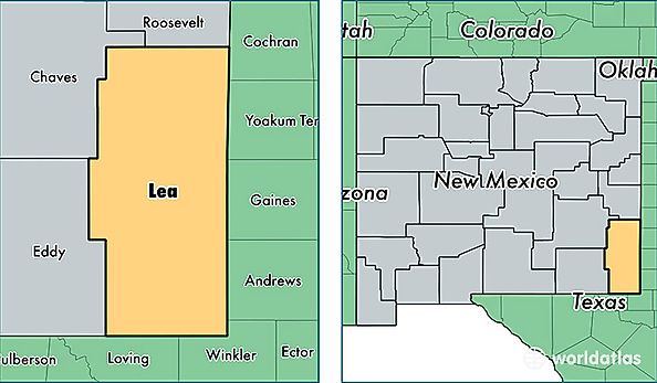
Lea County is a county equivalent area found in New Mexico, USA. The county government of Lea is found in the county seat of Lovington.
With a total 11,380.52 sq. km of land and water area, Lea County, New Mexico is the 111th largest county equivalent area in the United States. Home to 69,999 people, Lea County has a total 24898 households earning 50694 on average per year.
Lea County, New Mexico - Quick Facts
| FIPS Code | 35025 |
| Area Codes | 575 |
| Time Zone | MST |
| Major Cities | Hobbs (population: 44,366), Lovington (population: 14,699), Eunice (population: 3,318), Jal (population: 2,213), Tatum (population: 1,382), Monument (population: 249), Maljamar (population: 39), Crossroads (population: 35), McDonald (population: 30), Caprock (population: 23) |
| Land Area | 27,027 sq miles |
| Water Area | 4,391 sq miles |
| Household Income | $50,694 |
| Housing Units | 24,898 |
| Median Home Value | $97,200 |
| High School Grads | 71% of population |
| Holders of Bachelors Degrees | 13% of population |
| Retail Spending | $13,217 per capita |
| Food & Accomodation Sales | $85,079 per capita |