Where is Salem County, New Jersey?
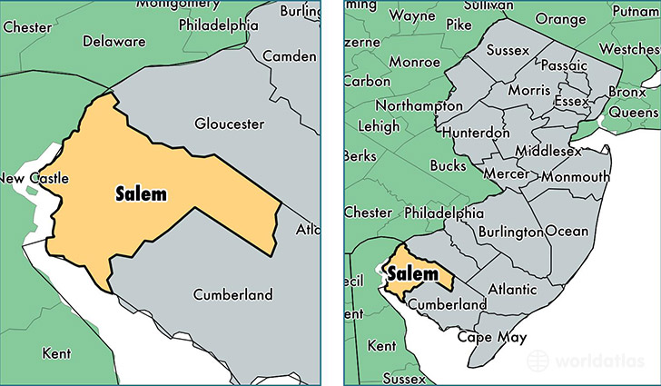
Salem County is a county equivalent area found in New Jersey, USA. The county government of Salem is found in the county seat of Salem.
With a total 964.33 sq. km of land and water area, Salem County, New Jersey is the 2683rd largest county equivalent area in the United States. Home to 64,715 people, Salem County has a total 27542 households earning 59718 on average per year.
Salem County, New Jersey - Quick Facts
| FIPS Code | 34033 |
| Area Codes | 856 |
| Time Zone | EST |
| Major Cities | Penns Grove (population: 13,014), Pennsville (population: 12,997), Elmer (population: 12,644), Salem (population: 10,935), Woodstown (population: 9,047), Pedricktown (population: 1,627), Alloway (population: 840), Deepwater (population: 448), Quinton (population: 223), Hancocks Bridge (population: 123) |
| Land Area | 24,987 sq miles |
| Water Area | 332 sq miles |
| Household Income | $59,718 |
| Housing Units | 27,542 |
| Median Home Value | $190,200 |
| High School Grads | 86% of population |
| Holders of Bachelors Degrees | 20% of population |
| Retail Spending | $10,146 per capita |
| Food & Accomodation Sales | $82,295 per capita |
This page was last updated on June 30, 2016.