Where is Woodbury, MN?
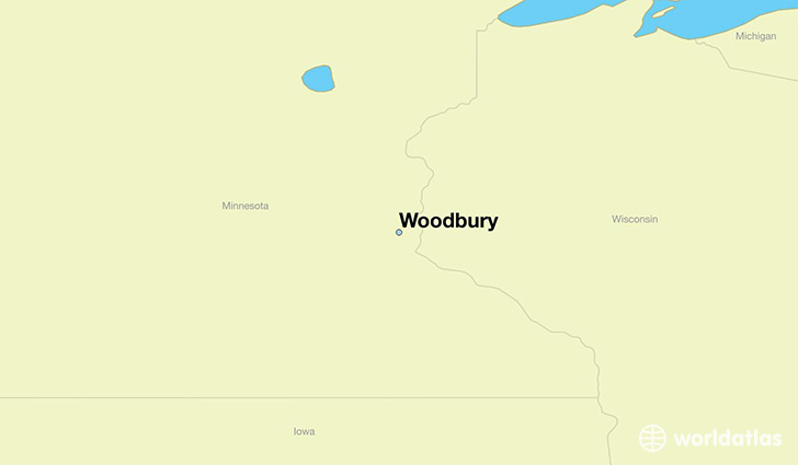
Woodbury is a city found in Minnesota, The United States Of America. It is located 44.92 latitude and -92.96 longitude and it is situated at elevation 323 meters above sea level.
Woodbury has a population of 61,961 making it the 11th biggest city in Minnesota. It operates on the CDT time zone, which means that it follows the same time zone as Minneapolis.
Quick facts
| Country | The United States Of America |
| State | Minnesota |
| Population | 61,961 |
| Elevation | 323 m over sea level |
| Time Zone | CDT |
| Longitude | -92.959380 |
| Latitude | 44.923860 |
Woodbury has a population of around 65667, of which 31152 (47%) are male and 34515 (52%) are female. The average age of the inhabitants of Woodbury is 35.70, meaning that the average person is below the national median age of 37. For every male, there are approximately 1.11 females, meaning that the population is relatively evenly distributed between males and female(s).
Of Woodbury's 65667 residents, around 63185 (96.20%) identify as having a single race. The majority of the population is white, which consists of 80.40% of the population. Of the remaining population, 4180 are black/African Americans (6.40%), 100 are native Americans (0.20%), 5633 are asians (8.60%), 87 are pacific islanders (0.10%), 399 are other (0.60%).
The median income of households in Woodbury is $99698.00, meaning that most of the households are above the poverty threshold for families of three. Of the total population, 2.00% of households reported an annual income of less than $10,000.
Woodbury, MN Zipcodes
The city of Woodbury has 2 zipcodes recognized by the United States Census Bureau: 55125, 55129.