Where is Red Lake County, Minnesota?
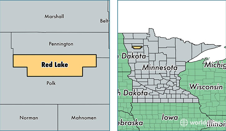
Red Lake County is a county equivalent area found in Minnesota, USA. The county government of Red Lake is found in the county seat of Red Lake Falls.
With a total 1,120.16 sq. km of land and water area, Red Lake County, Minnesota is the 2431st largest county equivalent area in the United States. Home to 4,043 people, Red Lake County has a total 1933 households earning 47569 on average per year.
Red Lake County, Minnesota - Quick Facts
| FIPS Code | 27125 |
| Area Codes | 218 |
| Time Zone | CST |
| Major Cities | Red Lake Falls (population: 2,538), Oklee (population: 919), Plummer (population: 600), Brooks (population: 349) |
| Land Area | 1,561 sq miles |
| Water Area | 432 sq miles |
| Household Income | $47,569 |
| Housing Units | 1,933 |
| Median Home Value | $87,800 |
| High School Grads | 88% of population |
| Holders of Bachelors Degrees | 16% of population |
| Retail Spending | $9,959 per capita |
This page was last updated on June 30, 2016.