Where is Mahnomen County, Minnesota?
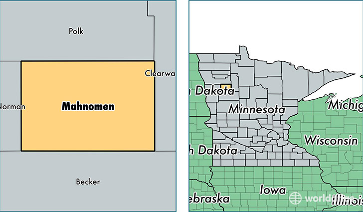
Mahnomen County is a county equivalent area found in Minnesota, USA. The county government of Mahnomen is found in the county seat of Mahnomen.
With a total 1,509.73 sq. km of land and water area, Mahnomen County, Minnesota is the 1815th largest county equivalent area in the United States. Home to 5,505 people, Mahnomen County has a total 2765 households earning 40282 on average per year.
Mahnomen County, Minnesota - Quick Facts
| FIPS Code | 27087 |
| Area Codes | 218 |
| Time Zone | CST |
| Major Cities | Mahnomen (population: 2,870), Naytahwaush (population: 683), Lengby (population: 542), Bejou (population: 297) |
| Land Area | 2,125 sq miles |
| Water Area | 558 sq miles |
| Household Income | $40,282 |
| Housing Units | 2,765 |
| Median Home Value | $97,800 |
| High School Grads | 85% of population |
| Holders of Bachelors Degrees | 13% of population |
| Retail Spending | $3,997 per capita |
This page was last updated on June 30, 2016.