Where is Faribault County, Minnesota?
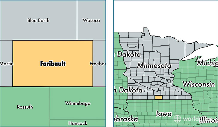
Faribault County is a county equivalent area found in Minnesota, USA. The county government of Faribault is found in the county seat of Blue Earth.
With a total 1,869.72 sq. km of land and water area, Faribault County, Minnesota is the 1355th largest county equivalent area in the United States. Home to 14,192 people, Faribault County has a total 7052 households earning 44264 on average per year.
Faribault County, Minnesota - Quick Facts
| FIPS Code | 27043 |
| Area Codes | 507 |
| Time Zone | CST |
| Major Cities | Blue Earth (population: 4,440), Wells (population: 3,644), Winnebago (population: 2,081), Minnesota Lake (population: 1,074), Elmore (population: 950), Bricelyn (population: 781), Kiester (population: 688), Easton (population: 496), Delavan (population: 475), Frost (population: 338) |
| Land Area | 5,480 sq miles |
| Water Area | 712 sq miles |
| Household Income | $44,264 |
| Housing Units | 7,052 |
| Median Home Value | $85,800 |
| High School Grads | 90% of population |
| Holders of Bachelors Degrees | 17% of population |
| Retail Spending | $7,861 per capita |
| Food & Accomodation Sales | $10,517 per capita |
This page was last updated on June 30, 2016.