Where is Cook County, Minnesota?
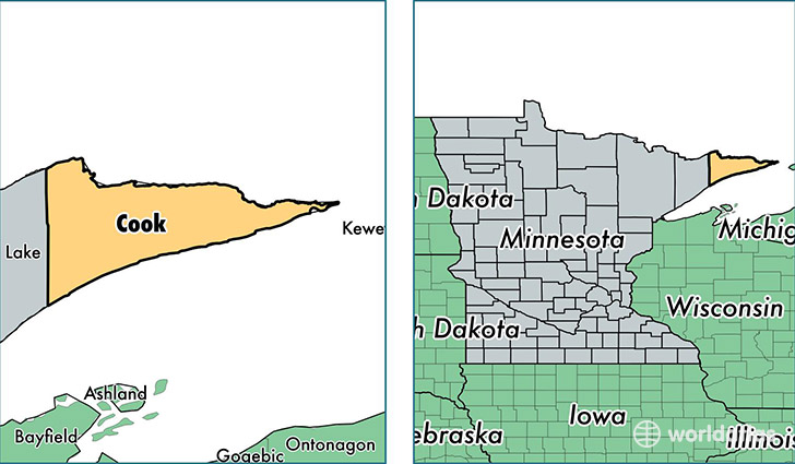
Cook County is a county equivalent area found in Minnesota, USA. The county government of Cook is found in the county seat of Grand Marais.
With a total 8,649.4 sq. km of land and water area, Cook County, Minnesota is the 163rd largest county equivalent area in the United States. Home to 5,233 people, Cook County has a total 5926 households earning 52215 on average per year.
Cook County, Minnesota offers the following attraction to visitors: Grand Portage NM
Cook County, Minnesota - Quick Facts
| FIPS Code | 27031 |
| Area Codes | 218 |
| Time Zone | CST |
| Major Cities | Grand Marais (population: 3,365), Grand Portage (population: 565), Lutsen (population: 518), Hovland (population: 272), Tofte (population: 256), Schroeder (population: 205) |
| Land Area | 2,020 sq miles |
| Water Area | 1,452 sq miles |
| Household Income | $52,215 |
| Housing Units | 5,926 |
| Median Home Value | $240,500 |
| High School Grads | 95% of population |
| Holders of Bachelors Degrees | 37% of population |
| Retail Spending | $11,420 per capita |
| Food & Accomodation Sales | $40,376 per capita |
This page was last updated on June 30, 2016.