Where is Leelanau County, Michigan?
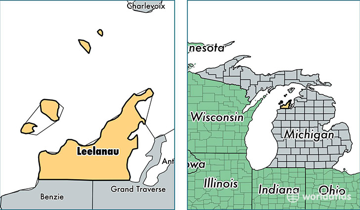
Leelanau County is a county equivalent area found in Michigan, USA. The county government of Leelanau is found in the county seat of Leland.
With a total 6,558.35 sq. km of land and water area, Leelanau County, Michigan is the 229th largest county equivalent area in the United States. Home to 21,915 people, Leelanau County has a total 15030 households earning 55018 on average per year.
Leelanau County, Michigan - Quick Facts
| FIPS Code | 26089 |
| Area Codes | 231 |
| Time Zone | EST |
| Major Cities | Suttons Bay (population: 4,233), Cedar (population: 3,081), Maple City (population: 2,057), Lake Leelanau (population: 1,913), Northport (population: 1,882), Empire (population: 1,422), Leland (population: 686), Glen Arbor (population: 557), Omena (population: 109) |
| Land Area | 8,461 sq miles |
| Water Area | 347 sq miles |
| Household Income | $55,018 |
| Housing Units | 15,030 |
| Median Home Value | $235,600 |
| High School Grads | 94% of population |
| Holders of Bachelors Degrees | 39% of population |
| Retail Spending | $5,857 per capita |
| Food & Accomodation Sales | $40,646 per capita |
This page was last updated on June 30, 2016.