Where is Monroe County, Kentucky?
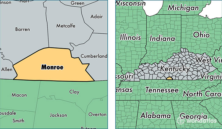
Monroe County is a county equivalent area found in Kentucky, USA. The county government of Monroe is found in the county seat of Tompkinsville.
With a total 860.02 sq. km of land and water area, Monroe County, Kentucky is the 2778th largest county equivalent area in the United States. Home to 10,704 people, Monroe County has a total 5175 households earning 29808 on average per year.
Monroe County, Kentucky - Quick Facts
| FIPS Code | 21171 |
| Area Codes | 270 |
| Time Zone | CST |
| Major Cities | Tompkinsville (population: 8,039), Fountain Run (population: 1,369), Gamaliel (population: 1,247), Mount Hermon (population: 431), Hestand (population: 271) |
| Land Area | 4,133 sq miles |
| Water Area | 329 sq miles |
| Household Income | $29,808 |
| Housing Units | 5,175 |
| Median Home Value | $72,300 |
| High School Grads | 73% of population |
| Holders of Bachelors Degrees | 12% of population |
| Retail Spending | $8,582 per capita |
| Food & Accomodation Sales | $6,490 per capita |
This page was last updated on June 30, 2016.