Where is McCreary County, Kentucky?
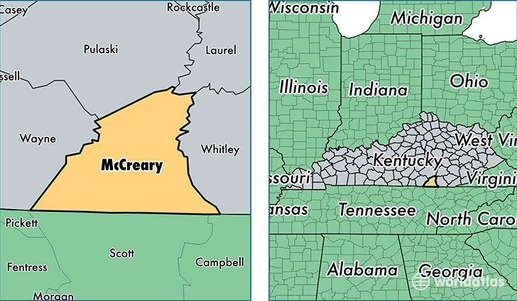
McCreary County is a county equivalent area found in Kentucky, USA. The county government of McCreary is found in the county seat of Whitley City.
With a total 1,116.15 sq. km of land and water area, McCreary County, Kentucky is the 2442nd largest county equivalent area in the United States. Home to 17,863 people, McCreary County has a total 7397 households earning 20972 on average per year.
McCreary County, Kentucky - Quick Facts
| FIPS Code | 21147 |
| Area Codes | 606 |
| Time Zone | EST |
| Major Cities | Pine Knot (population: 5,036), Whitley City (population: 4,559), Stearns (population: 4,033), Strunk (population: 2,295), Parkers Lake (population: 1,544), Revelo (population: 204), Marshes Siding (population: 132) |
| Land Area | 6,897 sq miles |
| Water Area | 427 sq miles |
| Household Income | $20,972 |
| Housing Units | 7,397 |
| Median Home Value | $65,000 |
| High School Grads | 70% of population |
| Holders of Bachelors Degrees | 7% of population |
| Retail Spending | $4,639 per capita |
| Food & Accomodation Sales | $7,070 per capita |
This page was last updated on June 30, 2016.