Where is Carroll County, Kentucky?
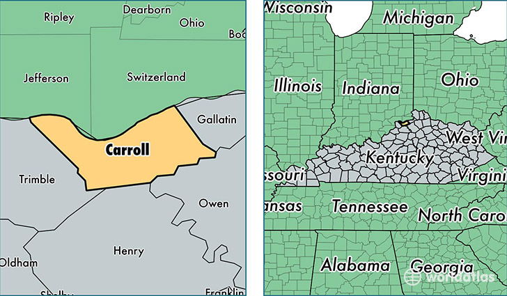
Carroll County is a county equivalent area found in Kentucky, USA. The county government of Carroll is found in the county seat of Carrollton.
With a total 355.64 sq. km of land and water area, Carroll County, Kentucky is the 3081st largest county equivalent area in the United States. Home to 10,815 people, Carroll County has a total 4663 households earning 40160 on average per year.
Carroll County, Kentucky - Quick Facts
| FIPS Code | 21041 |
| Area Codes | 502 |
| Time Zone | EST |
| Major Cities | Carrollton (population: 7,518), Sanders (population: 1,325), Ghent (population: 1,276) |
| Land Area | 4,176 sq miles |
| Water Area | 129 sq miles |
| Household Income | $40,160 |
| Housing Units | 4,663 |
| Median Home Value | $99,500 |
| High School Grads | 75% of population |
| Holders of Bachelors Degrees | 10% of population |
| Retail Spending | $17,403 per capita |
| Food & Accomodation Sales | $18,212 per capita |
This page was last updated on June 30, 2016.