Where is Sheridan County, Kansas?
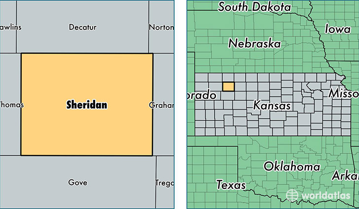
Sheridan County is a county equivalent area found in Kansas, USA. The county government of Sheridan is found in the county seat of Hoxie.
With a total 2,321.17 sq. km of land and water area, Sheridan County, Kansas is the 982nd largest county equivalent area in the United States. Home to 2,539 people, Sheridan County has a total 1260 households earning 48674 on average per year.
Sheridan County, Kansas - Quick Facts
| FIPS Code | 20179 |
| Area Codes | 785 |
| Time Zone | CST |
| Major Cities | Hoxie (population: 1,711), Grinnell (population: 524), Selden (population: 476) |
| Land Area | 980 sq miles |
| Water Area | 896 sq miles |
| Household Income | $48,674 |
| Housing Units | 1,260 |
| Median Home Value | $77,900 |
| High School Grads | 91% of population |
| Holders of Bachelors Degrees | 22% of population |
| Retail Spending | $7,482 per capita |
| Food & Accomodation Sales | $768 per capita |
This page was last updated on June 30, 2016.