Where is Lane County, Kansas?
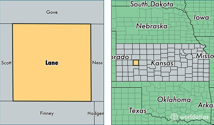
Lane County is a county equivalent area found in Kansas, USA. The county government of Lane is found in the county seat of Dighton.
With a total 1,858.64 sq. km of land and water area, Lane County, Kansas is the 1389th largest county equivalent area in the United States. Home to 1,687 people, Lane County has a total 980 households earning 53021 on average per year.
Lane County, Kansas - Quick Facts
| FIPS Code | 20101 |
| Area Codes | 620 |
| Time Zone | CST |
| Major Cities | Dighton (population: 1,379), Healy (population: 326) |
| Land Area | 651 sq miles |
| Water Area | 717 sq miles |
| Household Income | $53,021 |
| Housing Units | 980 |
| Median Home Value | $58,200 |
| High School Grads | 91% of population |
| Holders of Bachelors Degrees | 23% of population |
| Retail Spending | $7,841 per capita |
This page was last updated on June 30, 2016.