Where is Chase County, Kansas?
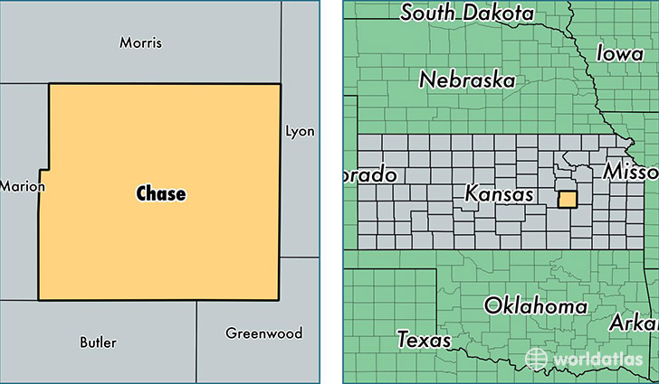
Chase County is a county equivalent area found in Kansas, USA. The county government of Chase is found in the county seat of Cottonwood Falls.
With a total 2,014.3 sq. km of land and water area, Chase County, Kansas is the 1218th largest county equivalent area in the United States. Home to 2,692 people, Chase County has a total 1493 households earning 36815 on average per year.
Chase County, Kansas offers the following attraction to visitors: Tallgrass Prairie National Preserve
Chase County, Kansas - Quick Facts
| FIPS Code | 20017 |
| Area Codes | 620 |
| Time Zone | CST |
| Major Cities | Cottonwood Falls (population: 1,217), Strong City (population: 739), Elmdale (population: 225), Cedar Point (population: 202), Matfield Green (population: 114) |
| Land Area | 1,039 sq miles |
| Water Area | 773 sq miles |
| Household Income | $36,815 |
| Housing Units | 1,493 |
| Median Home Value | $81,100 |
| High School Grads | 90% of population |
| Holders of Bachelors Degrees | 24% of population |
| Retail Spending | $3,815 per capita |
| Food & Accomodation Sales | $2,283 per capita |
This page was last updated on June 30, 2016.