Where is Dubuque, IA?
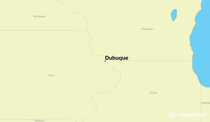
Dubuque is a city found in Iowa, The United States Of America. It is located 42.50 latitude and -90.66 longitude and it is situated at elevation 194 meters above sea level.
Dubuque has a population of 57,637 making it the 9th biggest city in Iowa. It operates on the CDT time zone, which means that it follows the same time zone as Des Moines.
Quick facts
| Country | The United States Of America |
| State | Iowa |
| Population | 57,637 |
| Elevation | 194 m over sea level |
| Time Zone | CDT |
| Longitude | -90.664570 |
| Latitude | 42.500560 |
Dubuque has a population of around 58409, of which 28317 (48%) are male and 30092 (51%) are female. The average age of the inhabitants of Dubuque is 39.20, meaning that the average person is above the national median age of 37. For every male, there are approximately 1.06 females, meaning that the population is relatively evenly distributed between males and female(s).
Of Dubuque's 58409 residents, around 56379 (96.50%) identify as having a single race. The majority of the population is white, which consists of 90.90% of the population. Of the remaining population, 1774 are black/African Americans (3.00%), 88 are native Americans (0.20%), 927 are asians (1.60%), 300 are pacific islanders (0.50%), 179 are other (0.30%).
The median income of households in Dubuque is $47450.00, meaning that most of the households are above the poverty threshold for families of three. Of the total population, 7.30% of households reported an annual income of less than $10,000.
Dubuque, IA Zipcodes
The city of Dubuque has 4 zipcodes recognized by the United States Census Bureau: 52001, 52002, 52003, 52068.