Where is Montgomery, AL?
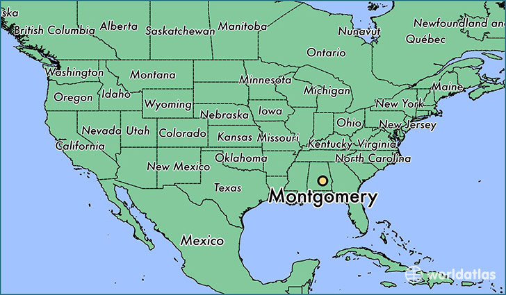
Montgomery is a city found in Alabama, The United States Of America. It is located 32.37 latitude and -86.30 longitude and it is situated at elevation 76 meters above sea level.
Montgomery has a population of 205,764 making it the 2nd biggest city in Alabama. It operates on the CDT time zone, which means that it follows the same time zone as Birmingham.
Quick facts
| Country | The United States Of America |
| State | Alabama |
| Population | 205,764 |
| Elevation | 76 m over sea level |
| Time Zone | CDT |
| Longitude | -86.299970 |
| Latitude | 32.366810 |
Montgomery has a population of around 202967, of which 95520 (47%) are male and 107447 (52%) are female. The average age of the inhabitants of Montgomery is 36.14, meaning that the average person is below the national median age of 37. For every male, there are approximately 1.12 females, meaning that the population is relatively evenly distributed between males and female(s).
Of Montgomery's 202967 residents, around 199925 (98.50%) identify as having a single race. The majority of the population is black/African American, which consists of 58.80% of the population. Of the remaining population, 73230 are white (36.10%), 484 are native Americans (0.20%), 4641 are asians (2.30%), 19 are pacific islanders (0.00%), 2271 are other (1.10%).
The median income of households in Montgomery is $42927.00, meaning that most of the households are above the poverty threshold for families of three. Of the total population, 10.70% of households reported an annual income of less than $10,000.
Montgomery, AL Zipcodes
The city of Montgomery has 15 zipcodes recognized by the United States Census Bureau: 36043, 36064, 36104, 36105, 36106, 36107, 36108, 36109, 36110, 36111, 36112, 36113, 36115, 36116, 36117.