Where is Baldwin County, Alabama?
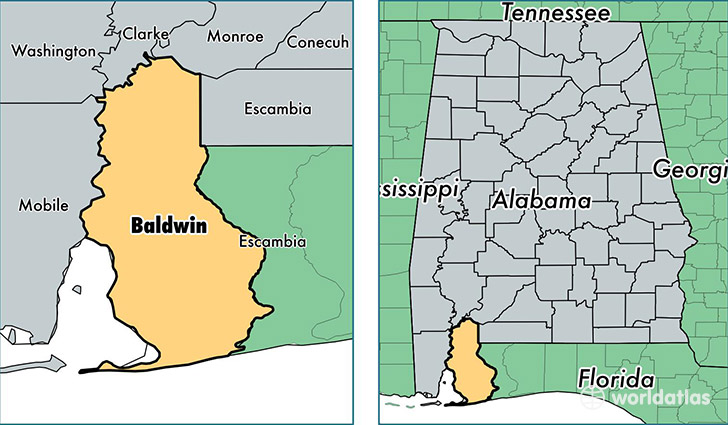
Baldwin County is a county equivalent area found in Alabama, USA. The county government of Baldwin is found in the county seat of Bay Minette.
With a total 5,250.71 sq. km of land and water area, Baldwin County, Alabama is the 314th largest county equivalent area in the United States. Home to 200,111 people, Baldwin County has a total 105800 households earning 50221 on average per year.
Baldwin County, Alabama - Quick Facts
| FIPS Code | 1003 |
| Area Codes | 251 |
| Time Zone | CST |
| Major Cities | Daphne (population: 29,194), Fairhope (population: 29,130), Foley (population: 28,018), Bay Minette (population: 19,982), Gulf Shores (population: 13,299), Robertsdale (population: 13,264), Spanish Fort (population: 12,705), Loxley (population: 8,644), Elberta (population: 7,194), Orange Beach (population: 6,079) |
| Land Area | 77,263 sq miles |
| Water Area | 1,590 sq miles |
| Household Income | $50,221 |
| Housing Units | 105,800 |
| Median Home Value | $168,600 |
| High School Grads | 89% of population |
| Holders of Bachelors Degrees | 28% of population |
| Retail Spending | $17,166 per capita |
| Food & Accomodation Sales | $436,955 per capita |
| Universities and Colleges | Columbia Southern University |
This page was last updated on June 30, 2016.