Where is Anchorage, AK?
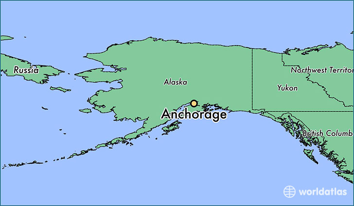
Anchorage is a city found in Alaska, The United States Of America. It is located 61.22 latitude and -149.90 longitude and it is situated at elevation 16 meters above sea level.
Anchorage has a population of 291,826 making it the biggest city in Alaska. It operates on the AHDT time zone.
Quick facts
| Country | The United States Of America |
| State | Alaska |
| Population | 291,826 |
| Elevation | 16 m over sea level |
| Time Zone | AHDT |
| Longitude | -149.900280 |
| Latitude | 61.218060 |
Anchorage has a population of around 299107, of which 153122 (51%) are male and 145985 (48%) are female. The average age of the inhabitants of Anchorage is 34.36, meaning that the average person is below the national median age of 37. For every male, there are approximately 0.95 females, meaning that the population is relatively evenly distributed between males and female(s).
Of Anchorage's 299107 residents, around 269495 (90.10%) identify as having a single race. The majority of the population is white, which consists of 64.90% of the population. Of the remaining population, 17511 are black/African Americans (5.90%), 19745 are native Americans (6.60%), 26323 are asians (8.80%), 6436 are pacific islanders (2.20%), 5226 are other (1.70%).
The median income of households in Anchorage is $78326.00, meaning that most of the households are above the poverty threshold for families of three. Of the total population, 2.90% of households reported an annual income of less than $10,000.
Anchorage, AK Zipcodes
The city of Anchorage has 17 zipcodes recognized by the United States Census Bureau: 99501, 99502, 99503, 99504, 99505, 99506, 99507, 99508, 99513, 99515, 99516, 99517, 99518, 99540, 99567, 99577, 99587.