Where is Wrangell Borough, Alaska?
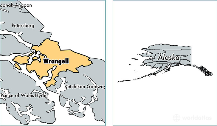
Wrangell Borough is a county equivalent area found in Alaska, USA.
With a total 8,966.7 sq. km of land and water area, Wrangell Borough, Alaska is the 155th largest county equivalent area in the United States. Home to 2,364 people, Wrangell Borough has a total 1416 households earning 45841 on average per year.
Wrangell Borough, Alaska - Quick Facts
| FIPS Code | 2275 |
| Area Codes | 907 |
| Time Zone | PST-1 |
| Major Cities | Wrangell (population: 2,371), Meyers Chuck (population: 31) |
| Land Area | 913 sq miles |
| Water Area | 2,541 sq miles |
| Household Income | $45,841 |
| Housing Units | 1,416 |
| Median Home Value | $157,400 |
| High School Grads | 89% of population |
| Holders of Bachelors Degrees | 17% of population |
This page was last updated on June 30, 2016.