Where is Valdez Cordova Borough, Alaska?
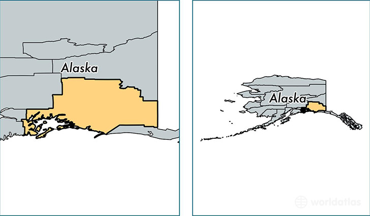
Valdez Cordova Borough is a county equivalent area found in Alaska, USA.
With a total 104,480.78 sq. km of land and water area, Valdez Cordova Borough, Alaska is the 5th largest county equivalent area in the United States. Home to 9,488 people, Valdez Cordova Borough has a total 6063 households earning 74878 on average per year.
Valdez Cordova Borough, Alaska offers the following attractions to visitors: Wrangell-St. Elias NP, Wrangell-St. Elias NP & Preserve
Valdez Cordova Borough, Alaska - Quick Facts
| FIPS Code | 2261 |
| Area Codes | 907 |
| Time Zone | PST-1 |
| Major Cities | Valdez (population: 4,038), Cordova (population: 2,367), Copper Center (population: 1,124), Glennallen (population: 992), Gakona (population: 610), Whittier (population: 250), Chitina (population: 193), Tatitlek (population: 88) |
| Land Area | 3,663 sq miles |
| Water Area | 34,240 sq miles |
| Household Income | $74,878 |
| Housing Units | 6,063 |
| Median Home Value | $177,700 |
| High School Grads | 91% of population |
| Holders of Bachelors Degrees | 24% of population |
| Retail Spending | $8,422 per capita |
| Food & Accomodation Sales | $23,148 per capita |
This page was last updated on June 30, 2016.