Where is Kodiak Island Borough, Alaska?
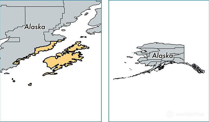
Kodiak Island Borough is a county equivalent area found in Alaska, USA. The borough government of Kodiak Island is found in the borough seat of Kodiak.
With a total 31,136.48 sq. km of land and water area, Kodiak Island Borough, Alaska is the 21st largest county equivalent area in the United States. Home to 13,986 people, Kodiak Island Borough has a total 5308 households earning 68718 on average per year.
Kodiak Island Borough, Alaska - Quick Facts
| FIPS Code | 2150 |
| Area Codes | 907 |
| Time Zone | PST-1 |
| Major Cities | Kodiak (population: 13,544), Old Harbor (population: 228), Port Lions (population: 206), Ouzinkie (population: 183), Larsen Bay (population: 94), Karluk (population: 27) |
| Land Area | 5,400 sq miles |
| Water Area | 6,550 sq miles |
| Household Income | $68,718 |
| Housing Units | 5,308 |
| Median Home Value | $224,500 |
| High School Grads | 90% of population |
| Holders of Bachelors Degrees | 20% of population |
| Retail Spending | $8,274 per capita |
| Food & Accomodation Sales | $26,252 per capita |
This page was last updated on June 30, 2016.